Météo-France has placed four departments in western France on orange “wind” vigilance.
Published on 25/01/2025 20:03
Reading time: 2min

After Éowyn, another storm will hit France. Coming from the Atlantic Ocean, Herminia will blow over the west of the country on Sunday January 26 and bring its share of rain to already saturated soils. Depression “currently on the Atlantic, off the coast of Ireland, conditions will once again be very disturbed for Sunday (wind and rain, snow at altitude)”specifies Météo-France in a vigilance bulletin.
????️ Rainy and windy weekend! The remnants of storm #Eowyn will bring moderate rain to the Loire Valley, the Belgian borders, the South-West and the East of the country on Saturday. Sunday: rain and gusts on the coasts, linked to the depression #Herminia. ???? meteofrance.com/actualites-e…
[image or embed]
-— Météo-France (@meteofrance.bsky.social) January 24, 2025 at 4:55 p.m.
Herminia, which was in the south of Ireland on Saturday evening, will mainly affect the western coast of the country, notably Brittany and the South-West. Côtes-d’Armor, Finistère, Pyrénées-Atlantiques and Hautes-Pyrénées will be placed on orange “wind” vigilance from the morning. The north-west of Spain will also be subject to strong winds.
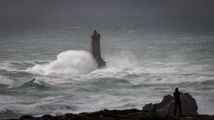
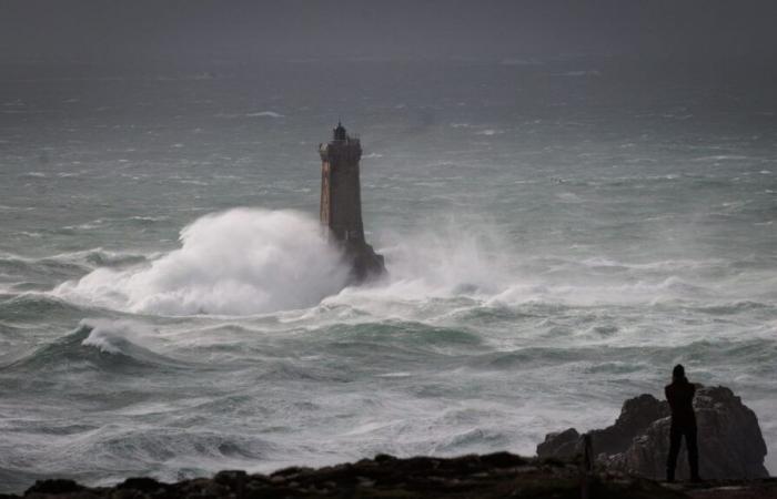
In Brittany, the meteorological institute expects possible gusts from the morning “around 130 km/h on the coasts and close to 100 km/h inland. in Finistère and Côtes-d’Armor. “On the Breton tip, saturated soils constitute an aggravating factor”continues the alert bulletin which specifies that the “rainfall is occurring again in regions already impacted recently”.
In the Pyrenees, the wind may “reaching stormy gusts of 110 to 120 km/h at midday in mid-mountains (at ski resorts) as well as locally in valleys (…) These gusts can exceed 150 km/h on certain ridges or exposed collars”specifies Météo-France.
The wind will then strengthen in the evening. The storm will also affect east-central France. Météo-France expects new strong winds in the Pyrenees during the night from Sunday to Monday, according to its dangerous phenomena forecast bulletin. The institute also does not exclude “heavy precipitation from the north of the Alpes-Maritimes to the Hautes-Alpes” Monday and calls for monitoring “strong waves on the Breton tip despite the low tide coefficients”.


