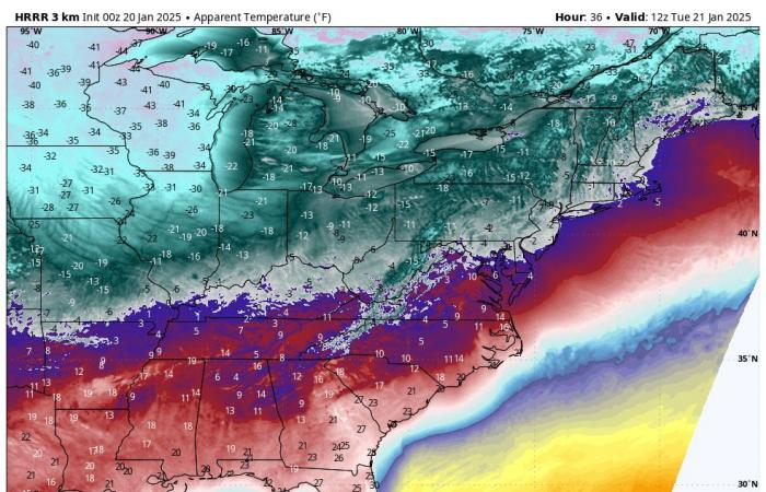
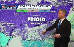
This week will feature the coldest air of the season by far. It will be a true arctic blast by definition – a cross polar flow pattern that will bring air from Siberia across the pole and down to us in North America. The cold air will reach the Gulf of Mexico and set the table for an incredibly rare winter storm that will bring snow and ice to areas as far south as New Orleans. Along the eastern shore and for much of the Mid-Atlantic, cold air advisories are in effect to start the week. On Delmarva, feels-like temps (wind chill) will dip to near 0º at times in the morning hours through Thursday morning.
Coldest stretch in years on Delmarva
The incoming arctic blast will bring the coldest widespread temperatures we’ve experienced on Delmarva in several years. We have to go back to January 30th in 2022 to find the last time we recorded widespread lows in the single digits. On that morning, lows dipped to 5º in Salisbury and 8º in Georgetown.
But this week’s arctic outbreak will likely be the coldest stretch we’ve had in about 7 years. This was the last time Salisbury and Georgetown had consecutive mornings in the single digits, which happened on Jan. 6-8 in 2018. And it was in the same cold snap when we last had consecutive days with highs under 25 degrees (Jan 5-7 in 2018).
Check the latest forecast for Delmarva here
-Moderating temperatures expected
If you’re not a fan of the cold, you’re in luck! The cross polar flow is expected to shut down and the arctic airmass will begin to moderate by the end of the week. The trend will be for near average temperatures to return by the weekend and into early next week. This means days back above freezing with highs in the 40s, and far less brutally cold nights with lows in the 20s.


