Further snowfall is expected in the plains over the next few hours, alongside a violent conflict of air masses over the country. Where will it snow? Find our latest forecasts in this article.
A new alert for snow and ice was launched by Météo-France services for Wednesday January 8. Indeed, a violent conflict of air masses will take place in the north of France over the next few hours. While exceptional mildness will affect the south of France with maximums sometimes close to 20 degrees near the Mediterranean, temperatures will remain close to 0°C between Normandy and Hauts-de-France.
The humidity-laden disturbance, which will move towards the north of the country over the next few hours, will confront this cold air and cause snowfall in several departments. Due to these snowfalls expected in the north of France, Météo-France has already placed four departments on orange alert for snow and ice.
How will the weather forecast evolve over the next few hours? Where exactly will it snow? How much snow is expected? Can the forecasts still evolve and can other regions be affected? Find all the answers to these questions and our latest forecasts in this article.
4 departments placed on orange vigilance
At this time, Météo-France has already placed four departments on orange alert for the day of Wednesday January 8. The departments concerned by this vigilance are Seine-Maritime, Somme, Pas-de-Calais and Nord.

Although orange alert has already been issued, the event will only begin tomorrow afternoon in these four departments: from 2 p.m. for Seine-Maritime and from 4 p.m. for the other three departments.
What should you actually expect?
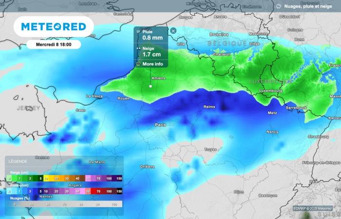
The rainy disturbance will move up tomorrow afternoon towards Upper Normandy and Hauts-de-France. In contact with cold air, precipitation will fall as snow.

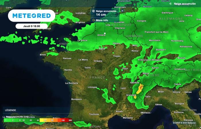
Over the entire episode, between tomorrow afternoon and Thursday morning, 5 to 10 centimeters of snow are expected in the departments placed on orange alert.
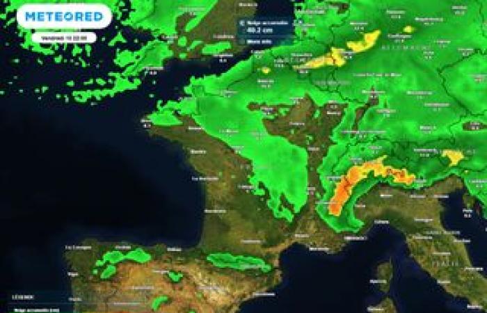
Note that further snowfall is possible late Wednesday night through Thursday morning, which can add 1 to 3 additional centimeters.
Uncertainties?
In its vigilance bulletin, Météo-France, however, expresses some uncertainty about the precise location of the snowfall. Indeed, a scenario, at this time in the minority, predicts snow precipitation on an axis going from the east of Calvados to the north of the Ardennes, passing through the west of Val-d'Oise. This scenario would result in less snowfall in the Nord and Pas-de-Calais.
These forecasts will be refined throughout the day tomorrow. Do not hesitate to consult our complete weather forecasts on our site.


