The anticyclone is moving away, a disturbance is approaching and a descent of polar air is preparing to sweep over France. Should we fear snow in the plains over the next few hours? Find all our latest forecasts in this article.
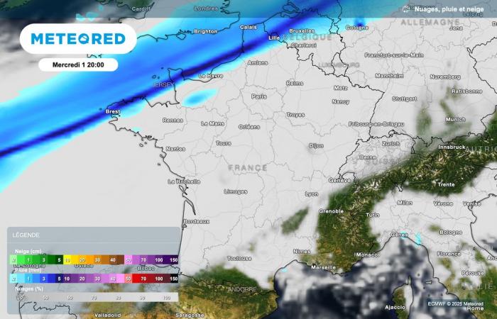
As expected, the weather conditions are starting to change with a gale expected over the next few hours along the Channel, where gusts close to 100 km/h are expected. At the same time, a rain disturbance is approaching these same regions. This is a cold front, which will bring locally sustained rains.
This disturbance, which will arrive this evening along the coast of the Channel, will also be accompanied by a descent of maritime polar air from the Arctic. Consequences: winds will shift to the northern sector and temperatures will drop behind the disturbance.
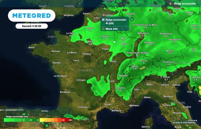
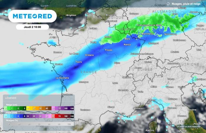
Thus, sliding towards the north of the country, this cold front could bring a little snow to very low altitude, even to the plains, next night and tomorrow in the north-eastern regions of France.
What should you actually expect? Which regions will be affected by this snowfall? Is lasting winter weather setting in in France? Find all our latest forecasts in this article.
A disturbance is coming along the Channel
The cold front is therefore currently approaching the Channel coasts. The first rains are expected at the end of the day.

This disturbance will also be accompanied by strong gusts of wind over the next few hours along the Channel, with peaks close to 100 km/h. Inland, gusts could reach up to 70 km/h in the north-west of France.
Snow next night?
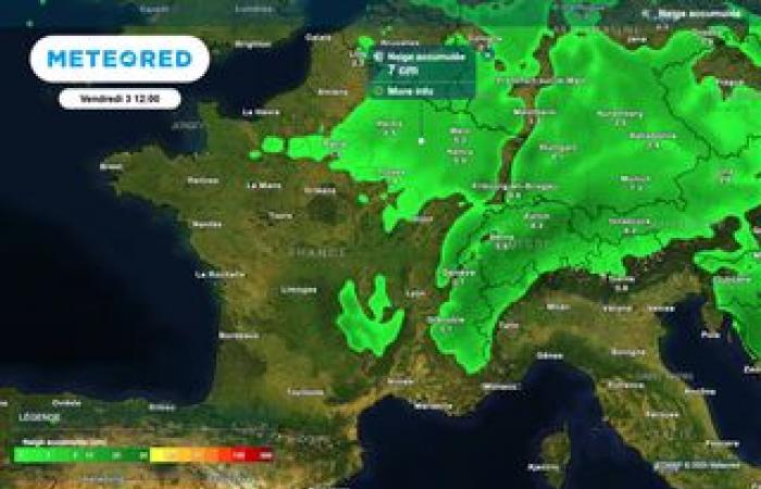
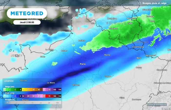
This disturbance will penetrate the north of France next night. Due to the expected cooling, snowfall is possible up to the plains in the north-east of the country.
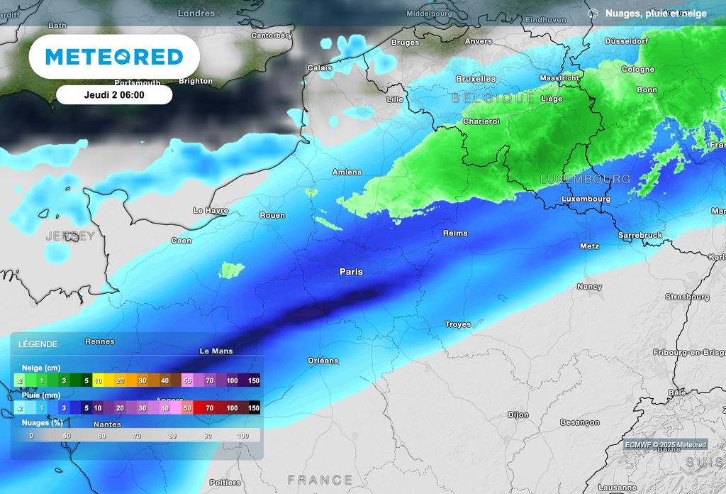
As shown in the map above, snowfall is possible down to the plains late next night, between Picardy, the north of Île-de-France and the Ardennes.

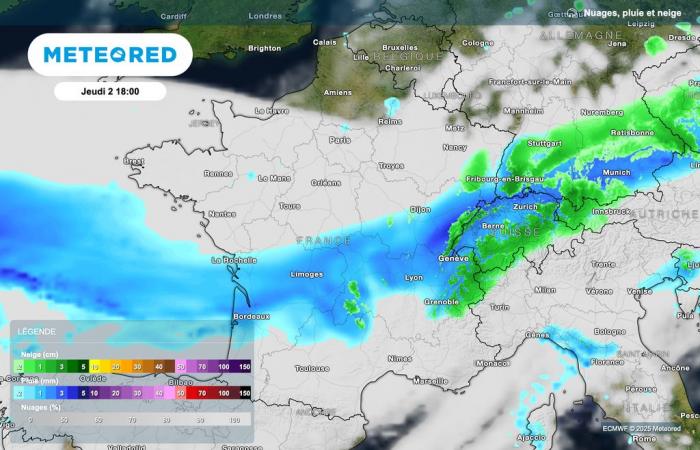
Snowfall should then slide tomorrow morning between Champagne and the Belgian and Luxembourg borders.
Snow in the mountains!
If some snowfall is expected up to the plains in the north-east of the country, the disturbance will bring greater quantities of snow to the mountains, particularly in the Vosges, the Jura, the Massif Central and the Alps. These snowfalls will be welcome during this Christmas holiday period, while many vacationers stay in winter sports resorts.

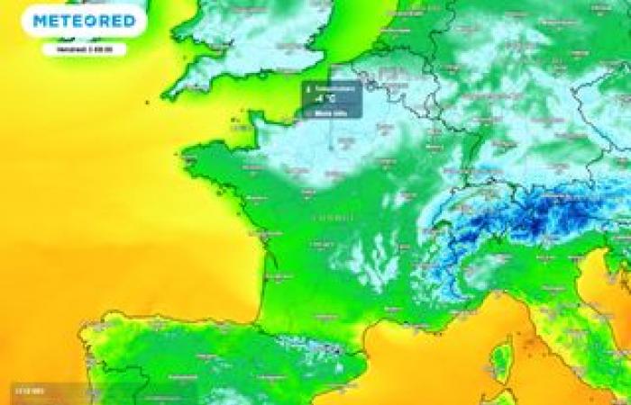
With the accentuation of the cold after the passage of the front, We will have to be wary of refreezing on wet soils in the north of the country on Friday morning.
While sometimes severe frosts are expected between Friday morning and Saturday morning in these regions of northern France, A very strong mild spell is forecast for Saturday afternoon across the entire region.

