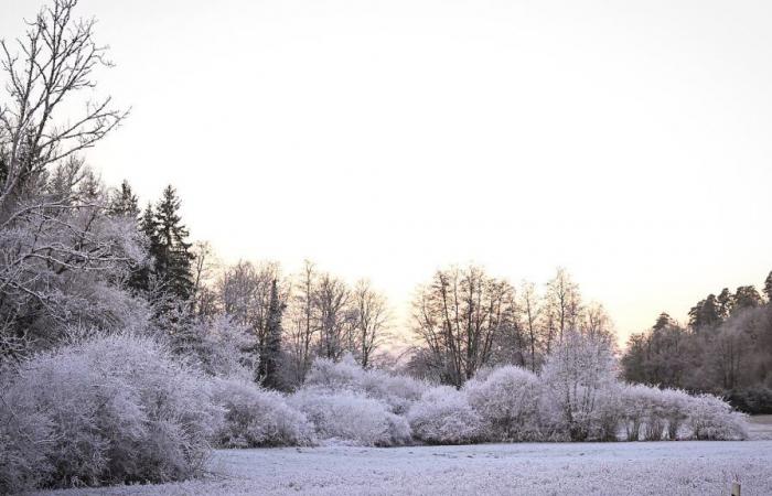
The year ends and with it the calm weather of the past few days. Two storms are moving across parts of the country. It will be stormy, especially in the north and center. This even confuses the models that then indicate a winter.
After the recent calm and sunny days on the mountains, the new year is starting off really stormy: A small but powerful low is moving eastwards over Denmark right at the turn of the year and is primarily influencing the weather in the northern half of our country; there are even hurricane-force winds on the North Sea possible.
There will only be a short break in the storm on New Year’s Day, as a second, even more pronounced low will follow from the Atlantic. There is a risk of severe squalls on Thursday night and Thursday morning, and hurricane gusts at sea and on the mountain peaks.
This is probably also pushing the computer models to their limits, because what will happen to the weather after the second low on Friday is still very uncertain. In any case, a wintery weather phase cannot be ruled out.
Monday: calm weather comes to an end
In the north it is very cloudy and there is occasional rain. In addition, the wind picks up from strong to stormy, especially on the North Sea. The maximum values here reach a mild 5 to 8 degrees Celsius. In the middle and in the south, the influence of high pressure still predominates, which means persistent fog fields in the lower altitudes that rarely give the sun a chance. However, the sun usually shines on the mountains and in Saxony. However, it won’t be quite as mild here as it was recently, with maximum temperatures reaching between minus 2 and plus 4 degrees.
New Year’s Eve: Northern half increasingly stormy
In the north there will be lots of clouds and occasional rain. The wind continues to increase, especially from the afternoon onwards, reaching gusts of up to almost 100 kilometers per hour on the North Sea islands. Over the middle it is mostly cloudy and dry, with sunny periods especially in Saxony. Little will change in the south; outside of a few areas of permanent fog, it will be quite sunny again. The maximum values reach between 0 degrees in the fog and 7 degrees on the North Sea.
New Year’s Eve
In the northern half it will be very cloudy and north of a line from Münsterland to Berlin there will be occasional rain. There are also strong winds with isolated gusts of around 80 km/h. Heavy gusts of up to 100 km/h are possible on the coast, and individual hurricane gusts of up to 120 km/h are possible on the North Sea islands.
There is a strong wind blowing in the middle, stormy on the mountains. There are hurricane gusts on the Fichtelberg and on the Brocken. In the south it mostly stays calm, with the wind only picking up on the peaks of the Black Forest, the Bavarian Forest and the Alps. Temperatures at midnight will be between minus 2 and plus 2 in the center and south, and around minus 5 degrees in snow-covered valleys. In the north it will be 3 to 6 degrees, in the North Sea 6 to 8 degrees.
New Year: just quieter for a short while
At the beginning there is still a stormy wind on the Baltic Sea, but as the day progresses the wind decreases significantly everywhere. However, the respite only lasts a short time, because as the second storm low approaches, the wind in the west and northwest picks up again in the evening. In addition, there will be occasional rain in the northern half with dense clouds, while the southern half will remain dry with significantly more sun. With highs between 4 degrees in the mountains and 10 degrees on the Rhine, it will also be milder in the south.
Great risk of storms from Thursday night!
Over the course of the night until Thursday afternoon, there is a risk of gusts of 80 km/h in the mountains and also in the lowlands, and according to some models even hurricane-like gusts of 110 km/h. Hurricane gusts of between 120 and 150 km/h are very likely on the coast and on the mountain peaks. The storm is expected to move away again in the east by midday. However, there are still big differences in the model calculations as to how quickly the depression will pass over us.
With a cold front moving from the northwest towards the Alps over the course of the day, rain will initially fall, which will later turn into snow or sleet in some places at low altitudes. Behind the front there will be a mix of snow or sleet showers with some sunshine in between. The temperatures initially reach 2 to 10 degrees, but then decrease in the afternoon.
Friday and weekend: completely open
From Friday onwards, the weather models will diverge significantly, so there is no clear weather development in sight yet. According to the European model, with a mix of sun and snow showers, it could get colder day by day and the weather week could end in a wintery cold Sunday, even icy cold in the south.


