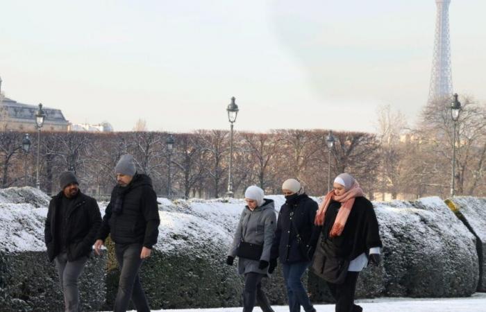
Winter will knock on France's door in the coming days. While the meteorological winter began on Sunday December 1, ahead of the date of December 21 retained in the calendar, winter conditions should affect France from next weekend.
Weather models agree on a change in air mass. France would find itself under the dominant influence of a current of polar origin from Saturday or Sunday depending on the region. This animation relayed by meteorologist Guillaume Séchet shows how change could take place.
If the cooling is almost unanimous, its precise origin remains uncertain. Some models rely on a maritime origin, which makes it wetter and warmer, others on a more continental origin, which makes it drier and colder.
Temperatures should in all cases fall below seasonal averages. Excluding mountain ranges, the American GFS model, for example, expects maximums of between 2°C and 7°C approximately on Monday December 10 in almost the entire country, with the exception of the Mediterranean coasts on the continent and in Corsica. Such temperatures would be 3°C to 5°C below normal.
The country as a whole would not, however, experience a cold spell from a statistical point of view. This, like the heatwave, corresponds to a certain number of criteria, in particular even lower temperatures.
The north of France would also experience fairly violent winds over the next weekend. Gusts could reach 70 km/h to 80 km/h inland, even more near the coasts, according to GFS and the German Icon model for example. A first gale could also occur on Friday.
It is after the passage of these strong gusts that the thermometer should begin to drop significantly. The weather channel anticipates that snow will be present on all mountain ranges. The origin of the cold air will be decisive in knowing whether the flakes will reach the plain. “The situation is not reliable, everything will depend on the origin of this cold air, whether it is maritime polar, in which case this risk exists, or continental and dry. » The east, north and center of the country could be affected at low altitude. But the forecast remains uncertain for the moment on this point.
The trend for the start of the following week remains cold. This winter onslaught could last several days, or even extend over the whole of next week.


