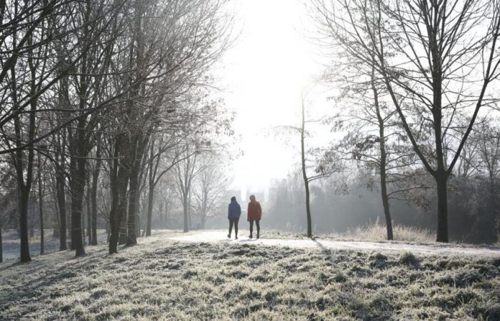
Snow at Christmas? Will December be cold? These questions are starting to emerge in conversations. Although it is impossible to give a precise answer for each date, as any forecast clearly loses reliability beyond three to five days, it is possible to identify general trends.
Several weather models have started to show results. December could be a rather warmer than average and rather dry month, depending on the most likely scenarios. This does not mean, however, that it will be 15°C, without a drop of rain or the slightest flake, from the 1st of the month until New Year's Eve.
Variations, sometimes pronounced, may exist. At the start of November, the models predicted four weeks that were drier and warmer than average. When we take stock in a few days, this should correspond to what the 11th month of the year as a whole will have been. But that did not prevent us from experiencing a three-day period that was significantly cooler than average last week, accompanied by significant snowfall in the plains for the season.
In the case of the month of December, the specialized site Météo-villes was interested in the trends established by the American GFS and European ECMWF models. Concerning temperatures, the first predicts a month which would overall be warmer than average. The north of France would be more exposed to higher than normal temperatures. The second model focuses on a slightly less hot trend. “With such a scenario, the cold could therefore appear episodically and the holiday period will not be safe,” analyzes Météo-villes.
The American GFS anticipates fairly standard rainfall. The start of the month and the holiday week would be wetter than other periods. Depending on the temperature, this could be accompanied by snow. But, unlike temperatures, where the two models agree overall, they diverge in part regarding humidity. On this point, the European ECMWF anticipates a rainy first week in the south of the country. After a dry period, it shows absolutely no trend, “which would leave the field of possibilities open”.
In the specific case of snow, Météo-villes points out that it is “impossible to predict an episode of snow in the plains more than a few days in advance. It is generally a local phenomenon that rarely lasts over time. But trends over several weeks are large-scale trends, smoothing averages and masking epiphenomena.”
The weather channel, for its part, reached similar results. “The coming weeks look set to be mild and relatively dry,” she believes. It also goes in the direction of a start to the month with temperatures “a little above seasonal averages” with “temporary” instability. Until the start of the Christmas holidays, she judges that “calm weather” and temperatures oscillating between normal and values a little warmer than seasonal standards should prevail.


