While the first snow of the season affects the mountains above 1200 m, it has still not frozen in the plains, with the exception of a few very sheltered areas in the countryside. This week, with a descent of cold air from northeastern Europe, temperatures will drop more noticeably and sheltered frosts may be observed in regions where the sky will be clear during the night. For a month, temperatures have remained continuously above seasonal norms.
Morning temperatures often remained well above seasonal norms. In October, the frequently unsettled weather did not allow cold air to develop. During the first decade of November, while anticyclonic conditions returned, low-level humidity remained high with numerous fogs and low clouds which limited the drop in night-time temperatures.
Evolution of the thermal indicator © The Weather Channel
The drop in temperatures which began during this 3-day weekend will continue during the week. With a flow moving to the northeast, colder continental air will infiltrate France. The level of nighttime temperatures will mainly depend on cloud cover. Where low clouds will dominate, the drop in temperatures will be limited and temperatures will often be between 3 and 6°C in the morning. In regions where the sky will be clear with weak wind, temperatures will drop and the first frosts may be observed under shelter.
© cyd
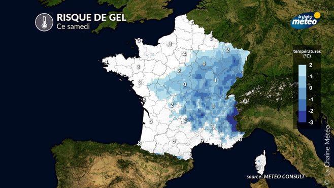
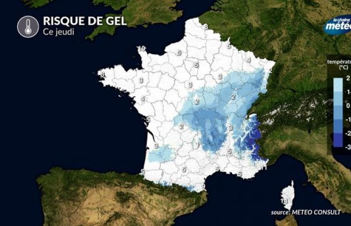
This Thursday, the plains and valleys of Auvergne-Rhone-Alpes and Bourgesne Franche Comte are the regions most exposed to the risk of frost. Cities like Luxeuil, Besançon, Vichy or Saint-Etienne could well observe their first day of frost of the season. On average, the first frosts occur at the end of October in the northeast and center-east. They therefore arrive late in the fall of 2024. Note that in Clermont-Ferrand, the first frost was not observed until December 5!
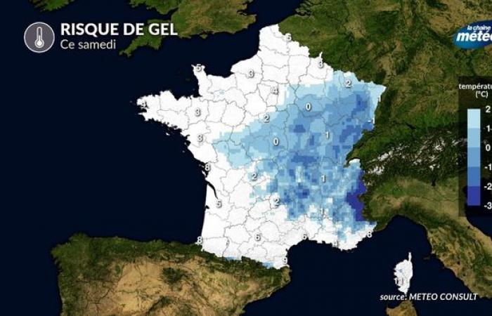
On Friday, a few light frosts will once again be possible in the center-east while there are many low clouds. in the west and north will limit the drop in nighttime temperatures. It is on Saturday morning, with the benefit of clearer skies from the center to the north-east, that the risk of frost will be most widespread. Cities like Bourges, Troyes, Mulhouse could experience their first day of frost under shelter.

Risk of frost this Saturday © The Weather Channel
From Sunday, the anticyclone will weaken and will be conducive to the return of a much more disturbed flow over France. The return of rain and wind will no longer be conducive to morning frosts.
France


