Par
Martin Bizeray
Published on
Jan 6, 2025 at 4:26 p.m.
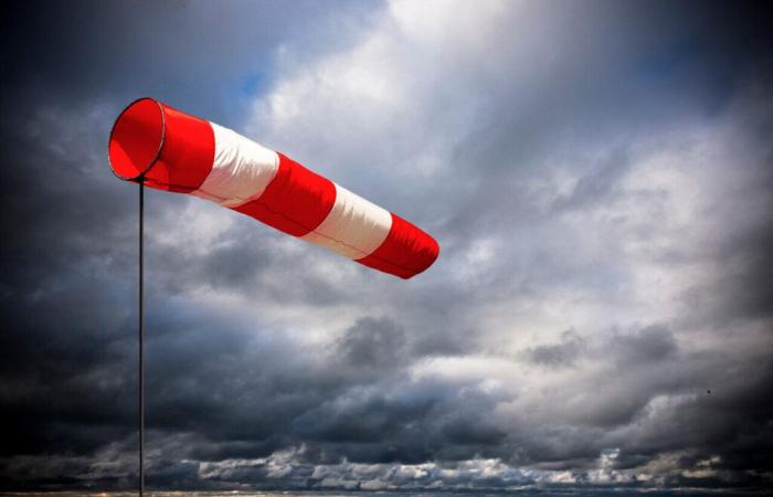
Storm Floriane hit the Aquitaine coast and Charente-Maritime. At the start of the morning, gusts exceeding 110 km/h were recorded on the coasts of the department, particularly on the Île de Ré. This storm caused disruptions to the rail network throughout the morning.
The most powerful gusts were recorded at the level of Whale Lighthouseon the Ile de Ré with 120 km/h.
Inland, the most powerful gusts were measured at 90 km/h.
All morning trains departing from La Rochelle as well as the TER trains from Charente-Maritime were canceled for security reasons this Monday, January 6.
The strongest winds have passed
The worst of the disruption is now over. The intensity of the winds will decrease during the afternoon and rail traffic will be able to resume.
The Charente-Maritime department is, however, still placed on yellow alert by Météo France.
Follow all the news from your favorite cities and media by subscribing to Mon Actu.
France


