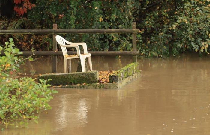
Floods in March, record rains in October, “we had a very wet year”confirms Florentin Cayrouse, forecaster and vice-president of the Météo Center association. Good news for the floors, “because we needed water. The water tables have returned to more than correct levels. » Much less for farmers, “who have gone from one extreme, dry, to the other”. The humidity caused “a bad harvest, difficulties in making seeds…”
The inhabitants of Bélâbre woke up with their feet in the water of Anglin, Saturday March 30, 2024.
© (Photo NR, Matthieu Renard)
To illustrate this rainfall, it uses data from the Météo-France station in Châteauroux-Déols. “As of December 17, 2024, we are at 935 mm of precipitation. » An extraordinary year: “The annual average in Châteauroux is 728.6 mm. »
To find such rainfall, Florentin Cayrouse goes back through the archives of the Castelroussine station. “It has been forty years since we had experienced such a volume of precipitation. » 2024 still remains very far from the meteorological station's record, “in 1910, there was almost 1,200 mm. It was the year of the exceptional flood in Paris. »
This excess rainfall “started in October 2023recalls Florentin Cayrouse. Since then, we have had a recurring ocean flow (westerly winds), when, in previous years, we were more on meridian flows (south or north winds). »
Rain, sunshine at half-mast – a deficit of almost 13% for the year 2024 – temperatures remained high. “The meteorological winter (December to February) was very mild. At the regional level, we are 2.2°C above seasonal normsunderlines Florentin Cayrouse. Only the winter of 2019-2020 was warmer. » Locally, it is even more obvious, “in February, in Châteauroux, there was only one day of frost. We should have had 1°C, on average, in the morning; we were more around 5°C or 6°C. »
Mildness which continued into March, accompanied by rain. “We had more than 115 mm of water in March, the normal is 50 mm. » Enough to explain the floods which affected a large part of the department at the end of March and the beginning of April. “Overall, we had a spring with little sunshine and a lot of rain, while temperatures were fairly close to normal. »
“There are many more abnormally hot days than abnormally cold days”
Summer too, has “been fairly close to normal, we did not observe heat waves as we may have had in previous years. Many felt it was “rotten” because they had become accustomed to summers that were too hot. » With average maximum temperatures ranging between 23.2°C (June) and 27.7°C (July), plants benefited “a welcome breakbelieves Florentin Cayrouse. Nature was beautiful and green this year, because it was much more breathable. » He nevertheless notes “fairly strong storms, especially at the end of July. We noted a rafaat more than 100 km/h, near Montgivray. »
Sunday October 20, 2024, the Indre overflowed. Here, in Buzançais.
© (Photo NR, Thierry Roulliaud)
After two fairly dry months, the rains returned in the fall. 149 mm (+ 150% compared to normal) in September and 126 mm (+ 76%) in October recorded at the Météo France station in Châteauroux-Déols, with temperatures around normal.
If the year seemed damp and cool, “when we take stock, there are many more abnormally hot days than abnormally cold days”notes Florentin Cayrouse. And, taking a step back, “On a global scale, for the first time, temperatures will be 1.5°C higher than in the pre-industrial period. We have not been able to meet this objective of the Paris agreements. And the trend will continue if we do not act quickly, with tough, major policies on a global scale. »
key figures
+ 1,1 °C This is the increase in global temperature between 2011 and 2020, compared to scientists' reference period 1850-1900.
+ 2 °C This is the maximum increase objective by 2100 set at COP21 in Paris. According to the latest IPCC report (March 2023), the desired threshold of +1.5°C is likely to be reached as early as 2030-2035.
3,7 mm This is the annual rise in sea levels between 2006 and 2018 due to global warming, twice as much as between 1971 and 2006.


