Par
Mathias Souteyrat
Published on
Nov 15 2024 at 10:04 am
; updated on Nov. 15, 2024 at 10:05 a.m.
See my news
Follow News Saint-Étienne
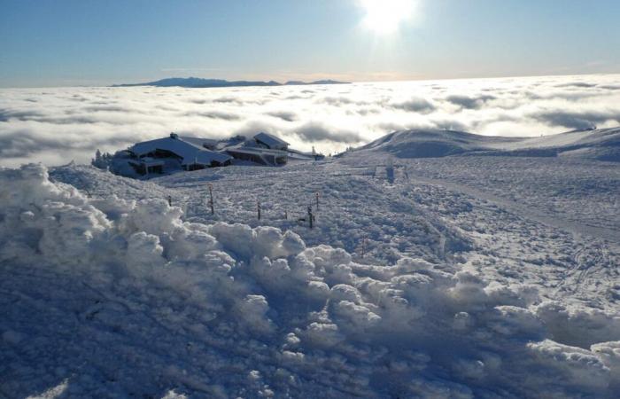
Snow has already fallen on the Sancy massifs.
According to Météo France, much more unsettled weather is expected next week, from Monday November 18 with more frequent and more marked precipitation, the return of snow in the mountains at low altitude and a much windier atmosphere.
We take stock of the first forecasts for next week in Clermont-Ferrand and Puy-de-Dôme.
Temperatures below seasonal norms
Temperatures will continue to drop during the week and will take on a more wintry character.
It will be important on all eastern reliefs and the Massif Central, at low altitude.
By mid-week, temperatures should fall below seasonal norms, with a heat deficit of around 2°C nationally.
From Wednesday, snowfall could be observed as far as the plains, particularly in the northeast and center-east.
Still uncertainties
The Lorraine plateaus, the Alsace plain, as well as the valleys and plains of Auvergne-Rhône-Alpes will be the most exposed. However, the snow will not necessarily stick to the ground in the plains, but could temporarily cover the ground from the first heights.
The models will be closely monitored in the coming days to refine the forecast. At this stage, the risk mainly concerns the northeast and central-east regions.
Follow all the news from your favorite cities and media by subscribing to Mon Actu.
France


