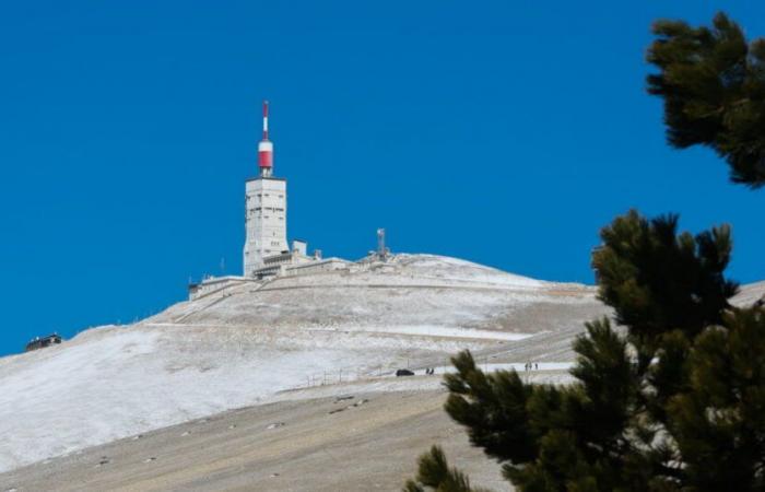
The weather will change radically this Tuesday, November 12 in Vaucluse. The freshness has already returned on Monday with the mistral which accentuates this sensation. A depression will circulate over France and the disturbance associated with it will bring precipitation in the form of rain to the Vaucluse plain. But on the hills, it is snow that will fall from the end of the morning, this Tuesday. These snowfalls will fall on the heights of the Albion plateau (from 9 or 10 a.m. and will continue until mid-afternoon. It is precisely between 11 and 1 p.m. that we expect the falls of the heaviest snowfall. Then, the disturbance will shift towards the west and the Rhône valley over the hours.
Traces of snow from 1,100 meters
Concerning snow accumulations, we expect the first traces from 1,200 meters on the Vaucluse mountains (on the edge of Lagarde-d'Apt), or even 1,100 meters on Ventoux, particularly the northern part.
Between 1,300 and 1,400 meters (summits of the Vaucluse mountains), we will be able to increase up to 2 or even 3 cm.
For Ventoux, between 4 and 6 cm for Mont Serein and Chalet Reynard. Higher in altitude, around 1,700 meters, the layer of snow could reach 6 to 8 cm. It is logically at the summit of Ventoux that we expect the highest accumulations with up to 12 or even 15 cm from 1,800 meters.
However, this snow is not expected to last long, including at the summit of Ventoux because a warm spell is expected at altitude from Wednesday. According to certain weather scenarios, the end of the month could be more promising in terms of snow on our hills.
France


