Nine departments in France will be on orange alert on Sunday, particularly due to the Herminia depression, announced Météo-France, which warns of “violent winds in the near Atlantic”.
The departments of Finistère, Côtes-d’Armor, Pyrénées-Atlantiques, Hautes-Pyrénées and Rhône will be affected by an orange wind alert from around 8:00 a.m. and at least until midnight, indicates the forecaster.
This content is blocked because you have not accepted cookies and other trackers.
By clicking on “I accept”cookies and other trackers will be placed and you will be able to view the contents (more information).
By clicking on “I accept all cookies”you authorize the storage of cookies and other trackers for the storage of your data on our sites and applications for personalization and advertising targeting purposes.
You can withdraw your consent at any time by consulting our data protection policy.
Manage my choices
I accept
I accept all cookies
Gusts up to 150 km/h
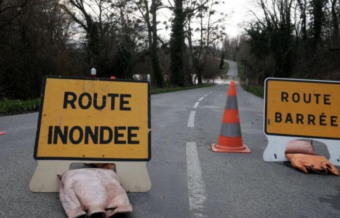
Morbihan will be at the same level of vigilance for rain-flooding from 6:00 p.m. until at least 11:00 p.m., Calvados, Ille-et-Vilaine and Mayenne have been for floods since Saturday. Météo-France downgraded Oise and Seine-Maritime to yellow alert on Sunday morning.
“Gusts of around 130 km/h on the coasts and close to 100 km/h inland are expected” in Brittany, according to the meteorological agency, which mentions a “frontal passage associated with Herminia” . “On the Breton tip, saturated soils constitute an aggravating factor,” notes Météo-France, while significant precipitation caused by storm Éowyn has already showered the region.
-In the two Pyrenean departments, gusts could reach “110 to 120 km/h in medium mountains as well as locally in valleys”. Peaks of more than 150 km/h are possible on “certain exposed ridges or passes”. Winds of “100 to 110 km/h” are expected in the Lyon region from the evening, according to Météo-France, which warns that the orange alert in the Rhône could be extended to the entire area.
High levels
Concerning the risk of flooding in Brittany, “all the tributaries of the upstream basin of the Vilaine are reacting to the rains of the previous two days. Levels will remain high on Sunday and should start to rise again due to the rain expected on Sunday,” explains the monitoring organization Vigicrues in the morning.
This content is blocked because you have not accepted cookies and other trackers.
By clicking on “I accept”cookies and other trackers will be placed and you will be able to view the contents (more information).
By clicking on “I accept all cookies”you authorize the storage of cookies and other trackers for the storage of your data on our sites and applications for personalization and advertising targeting purposes.
You can withdraw your consent at any time by consulting our data protection policy.
Manage my choices
I accept
I accept all cookies
“In Normandy, the situation has stabilized on the Epte which is returning to yellow alert. Significant floods are spreading to the Orne and the Dives where levels will remain high on Sunday,” from the same source. “In Pays de Loire, the Mayenne flood is currently spreading (…) The moderate rains on Sunday will maintain high levels,” according to Vigicrues. In Morbihan, the accumulations could be “40 to 60 millimeters in 24 hours”, with a lull during the night, concludes Météo-France.


