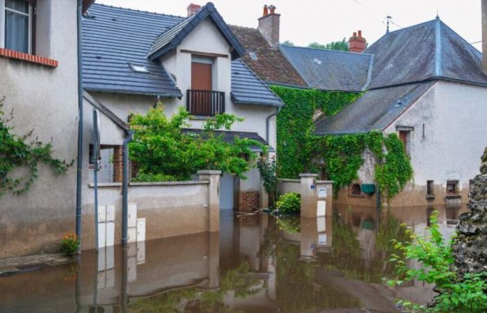
Every year in France, 175,000 people and 1.2 million buildings are affected by runoff flooding, according to the Central Reinsurance Fund (CCR) which judges that the phenomenon should experience “a significant increase” by 2050 and this “in a large part of the territory”. “The risk of flooding by runoff is increasing with the worsening of the phenomenon of intense rains and the extension of urbanization and soil waterproofing », Confirms the European Center for Flood Risk Prevention (Cepri).
Fast, violent and very localized
Runoff is rainwater that does not infiltrateor not sufficiently, in the soils and which are not not supported by dedicated devices type drains and water networks. The result is soil erosion, mudslides, landslides, accumulation flooding or by overflowing rivers. Floods are often rapid, violent and very localized, including in places far from watercourses, making them difficult to anticipate.
Very fine mesh
The solution? Modeling. It still has to be precise and fast. This is what the young company Bluemapping offers, created in November 2022 by Alexandre Bredimas, already at the head of the Strane Innovation group. “You have to model in a very short time hundreds of square kilometers with a very fine gold mesh existing software is not capable of this », Explains the president of Bluemapping. However, there is no shortage of methods: WaterSed (BRGM), ExZeco (Cerema), IRIP (SNCF)… “But they are static et take into account only the topography », Regrets Alexandre Bredimas.
Bluemapping modeled the watershed between Gif-sur-Yvette and Longjumeau (Essonne).
High performance computing
Bluemapping offers a representation of the territory in the form ofa grid of pixels with square meshes of one or two meters on each side based on BRGM and IGN data to which topography and land use are added – meadow, forest, sealed surface –, hydraulic infrastructures, the pedology of the subsoil and in particular its capacity to retain water and of course, rainfall. An algorithm then evaluates how the runoff water will be distributed based on these parameters. “ Thanks to Nvidia high-performance computingwe can model the runoff on 100 to 200 km2 in 30 to 45 minutes compared to several days for other software, underlines the president of Bluemapping. This allows us to say what volume of water will reach where and thus save lives and limit damage.”
Fundraising in progress
During 2025, the company hopes add satellite information to the elements it already has and, thanks to a coding system which distributes the data, update your simulations constantly. Ultimately, the start-up aims to create a digital twin of the territoryallowing precise management of flood risks on a national scale. Bluemapping is currently a fundraising of €1 million to recruit and accelerate in France before launching a second campaign which should allow it to going international.


