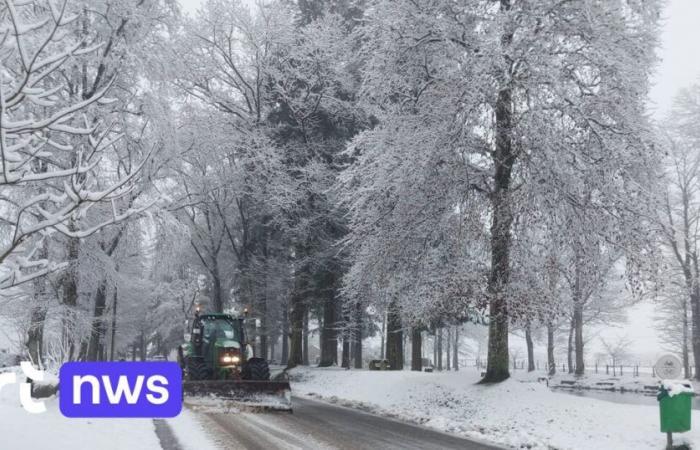
In some places in the southeast of the country, the snow cover reaches up to 8 centimeters. Snowfall or slush will still affect the south-east of the country this morning, then it will evacuate towards France and Germany at midday. The cloudiness will become variable across the country with some sometimes wintry showers which will spread from the North Sea.
Low clouds will sometimes limit visibility in the upper Ardennes. The maxima will vary between 0 degrees in the upper Ardennes where a few additional centimeters of snow will be added, and 7 degrees by the sea. The wind will be weak to moderate from west to northwest, along the coast sometimes quite strong from north to northwest. The IRM had extended its alert for slippery conditions in the provinces of Liège and Luxembourg until 10 a.m.
Light winter precipitation (risk of freezing drizzle) or frost deposits (freezing fog especially in the upper Ardennes) could still lead to slippery conditions in these provinces. You will have to be particularly wary of a risk of formation of ice patches, especially in places sheltered from the wind this morning.


