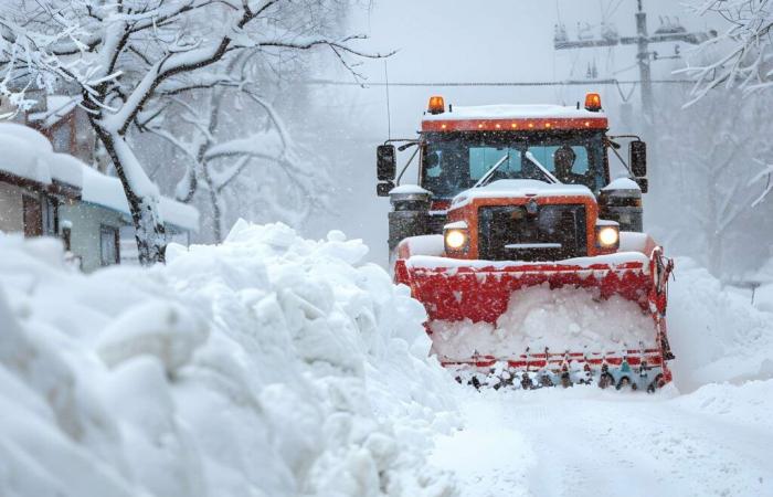
A powerful anticyclone and a flow ofairair polar brought an early cold snap in France, from the end of November 2010. Temperatures were freezing, with notably -15°C recorded in Orléans on November 30 of that year. But it was the first days of December that really caused the north-west of France to fall into harsh conditions. weather reportweather report chaotic: from 1is December, snow storms broke out over the English Channel, giving rise to a succession of extremely snowy showers.
Snow in Brittany on December 2, 2010. © Alain Philippe Grandidier foatelli
Snowstorms worthy of those of the American Great Lakes
Exactly as in the American Great Lakes, these snow storms formed with a violent conflict of air masses: the cold air, which was in place in the north of the country, confronted the softer and humid coming from the English Channel (with a water temperature of nearly 10°C).
The contrastcontrast gave rise to an explosive situation, which led to these storms filled not with rain, but with snow. On December 2, we were able to note an accumulation of 60 centimeters of snow in Cotentin, 50 centimeters in the Manche department, and 15 to 30 centimeters in Brittany.
Snow in Cotentin on December 2 and 3, 2010. © Serge Breuilly
These winter weather conditions continued to disrupt the northern half of the country throughout the month of December.
Snowstorm in Cherbourg on December 3, 2010. © Jean Francois Decaen
The month of December 2010 was ultimately the coldest and snowiest in 40 years in France.


