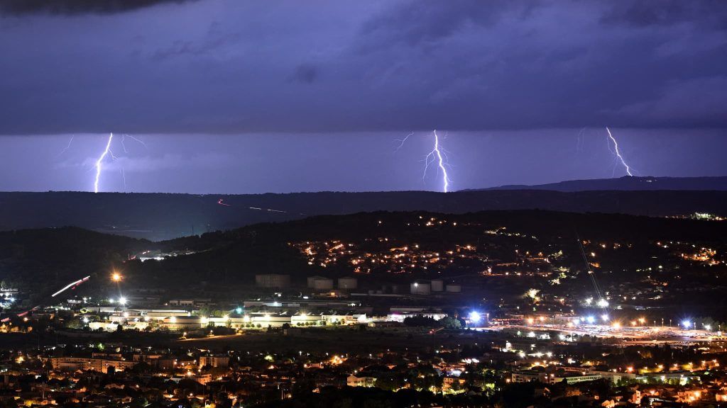
An orange “storm” alert has been triggered for Saturday in 34 departments as a strong storm episode will cross most of the country, according to Météo France.
France threatened by a wave of thunderstorms on Saturday. Nine departments have been added to the orange alert, bringing the total to 34. The meteorological services have also placed 14 departments on orange alert for “thunderstorms” for Sunday in the Grand-Est.
Saturday morning, the departments of Tarn, Aveyron, Lot, Cantal, Allier, Ain, Puy-de-Dôme, Loire and Rhône went into orange “thunderstorms” alert. for this Saturday afternoon.
They thus joined the 25 departments which were already there: Charente, Charente-Maritime, Cher, Gironde, Landes, Deux-Sèvres, Vienne, and all the departments of Grand Est and Burgundy-Franche -County.
“The altitude depression at the origin of the stormy degradation is currently rising over Spain towards the Pyrenees,” Météo France said on Saturday morning.
In Aquitaine, “frequent storms are present” accompanied by “strong electrical activity, locally high rainfall intensities sometimes of 20 to 30 mm/h” and “hail in places”.
From the Massif Central to the northeast, the stormy episode has not yet begun. In the morning, these storms will extend to the Centre-Val de Loire, while from the Pays de Loire to the Ile-de-France, Champagne-Ardenne and Lorraine, the cloudy passages could give locally stormy but more isolated showers.
Hail expected in some areas
Similarly, from Occitanie to Provence-Alpes-Côte d’Azur, the sky will be very overcast and some showers will be possible from the morning. But at the same time, a more marked stormy deterioration will approach the Pyrenees, and will quickly extend towards the Massif Central. In the afternoon, from the east of the Pyrenees to Limousin, then to Auvergne Rhône-Alpes, the storms will become strong and will multiply, giving high intensities of rain, sometimes hail and powerful gusts of wind.
This area of thunderstorms will move towards the Center-Val de Loire, the east of Île-de-France and Burgundy Franche-Comté at the end of the afternoon, to affect the Grand-Est in the evening, with still heavy rains, violent gusts of wind and hail, particularly in the northeast of the country where these storms will be the most violent.
Only the regions from Brittany to Nord-Pas-de-Calais, as well as Corsica, will stay away from these bad weather, and will maintain calmer but cloudy weather. The southeast wind will blow quite strongly until the beginning of the afternoon from Provence-Alpes-Côte d’Azur to the Massif Central.
Morning temperatures will be between 8 and 13 degrees from Brittany to Belgium, 15 to 20 degrees elsewhere, up to 21 to 22 degrees in Corsica. In the afternoon, it will be 18 to 23 degrees near the Channel and the Atlantic, 23 to 28 degrees elsewhere, but up to 27 to 32 degrees from the Grand-Est to Berry, Rhône-Alpes and Provence-Alpes-Côte d’Azur, and in Corsica, locally 34 in the Alsace plain and on the Isle of Beauty.


