By AD-B.
Published
yesterday at 5:57 p.m.,
Update 2 hours ago
” data-script=”https://static.lefigaro.fr/widget-video/short-ttl/video/index.js” >
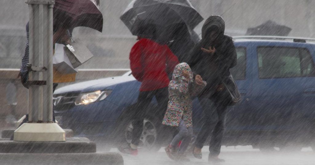
Still in a context of conflict of air masses, our country remains confronted with stormy waves with a strong risk of hail, while the heat remains on the south-eastern flank and it is less hot in the north-west. .
A new stormy development is expected on Wednesday June 19 in the afternoon, after those of the night. The situation remains delicate in our country, particularly south of the Loire while the weather calms north of the river, with a slight fresh wind, announces The Weather Channel *. As a reminder, 14 departments were placed on orange alert Tuesday evening.
Morning
Isolated thunderstorms break out diagonally from the southwest in Luxembourg and towards Loire-Atlantique. North of the Loire, the weather is variable and cooler, with a noticeable wind on the Channel coasts. South of the Loire, it is very mild and quickly gets heavy. The lowest temperatures range from 13 to 17°C with 22 to 24°C around the Mediterranean.
Afternoon
From Saint-Nazaire to Burgundy, storms break out and extend to the Central region. They can be loaded with hail. North of the Loire, the weather fluctuates and temperatures are cooler, with a slight northeast wind on the coast.
South of the Loire, the feeling is very hot and humid. Stormy depressions begin to break out from the Pyrenees to the Massif Central as well as in the Mediterranean hinterlands (Southern Alps). Caution is recommended in the mountains while Corsica maintains very hot weather but with veiled sunshine. Maximum temperatures range from 19 to 23°C in the northwest and 23 to 25°C in the rest of the territory. It will still be 30 to 32°C in the Rhône valley to the south-east.
Evening
Intense storms will break out from the Pyrenees to the northeast, passing through the central regions. Outside these territories, the weather remains calm, very hot in the southeast and cool in the northwest.
Further trend
While gradually shifting towards the east, frequent stormy weather conditions will affect the country until Friday. The heat will be short-lived due to the arrival of cooler air on Friday. An improvement is expected from Sunday, but especially for the start of next week.


