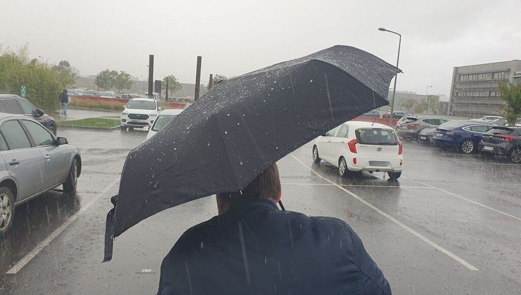
The region once again affected by heavy rains. All Ile-de-France departments, with the exception of Seine-et-Marne, were placed at 4 p.m. on alert orange rain-floods by Météo France. “Rains are coming from the center of the country towards Ile-de-France, sometimes of sustained intensity, notably in Yvelines where flooding is already observed“indicates Météo France. Since the beginning of the afternoon, 10 to 20mm have been recorded in the south of Yvelines (south of Rambouillet), locally 30mm
These rains are expected to last until Thursday night into Friday. As the soils are waterlogged, flooding is expected. “The expected accumulations are notable and risk generating runoff-flooding/overflow phenomena of waterways given the particularly sensitive hydrological context”specifies Météo France which nevertheless reminds that this episode is incommensurate with the rains of last week linked to the Kirk depression.
Yvelines, department most at risk
“The uncertainties remain significant”, according to Météo France, “both on the expected rainfall values and their location”. The end of the episode is also uncertain. The rains should generally weaken throughout the evening and night, Météo France forecasts, but they could continue in places, particularly in the west of the region until Friday at dawn.
So, Yvelines is the most exposed department (very weakened by Kirk last week); Val d’Oise, Paris Petite Couronne and Essonne are also to a lesser extent. The risk is lower in Seine-et-Marne which remains on yellow alert and is less exposed to this situation, even if it remains to be monitored, specifies Météo France.
Belgium