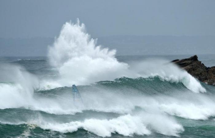
This Wednesday, October 9, 34 departments are placed on orange vigilance. Strong wind gusts and rain are expected throughout the day due to the passage of extra-tropical storm Kirk.
The wind is blowing and the rain is pouring all over France this Wednesday, October 9. Météo France has placed 34 departments on orange alert for “rain-flood”, “wind” and “floods” due to the passage of the Kirk depression over the country all day.
How the hurricane turned into a storm
This extra-tropical storm formed in the warm waters off Cape Verde last week was initially a hurricane. “It strengthened in the heart of the Atlantic until it reached category 4 (maximum winds between 210 and 249 km/h, Editor’s note),” explains Cyrille Duchesne, meteorologist and head of the forecast department at La Chaîne Météo*. Finally, the hurricane subsided at the beginning of the week, as it approached land. “Kirk curved its trajectory towards the north, where it encountered cooler waters and therefore lost intensity”continues Cyrille Duchesne.
A storm that brings tropical air
It was then downgraded to a simple extra-tropical storm, category 1, with winds between 119 and 153 km/h, while retaining some somewhat specific characteristics, since it brings rather mild temperatures for the season. “It brings tropical air back to the south of France. This is why we are seeing temperatures of between 15 and 20°C this Wednesday morning, which are normally expected in the afternoon for the month of October.adds the meteorologist.
Gusts between 80 and 100 km/h
In France, Kirk will arrive via the Bay of Biscay then extend towards the Charente coast around 6 p.m., then move up towards the north-east of the country during the night. For Cyrille Duchesne, the term “storm” should not cause alarm: “It is more of a strong gale, since on the plain we expect between 80 and 100 km/h, while we are talking about gusts of more than 100 km/h in the event of a real storm. On the Aquitaine coast, however, this will be more the case. But overall, these are the rains which are likely to be impressive”. Thursday, the day should be calmer, even if Météo France still forecasts 19 departments on orange alert.
*La Chaîne Météo is a property of the Figaro group.


