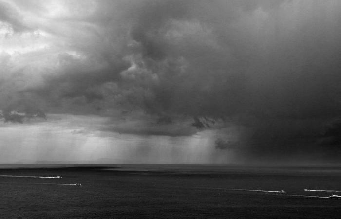
After the gradual dissipation of the mists and fogs of the night, our Thursday will be cloudy and often very wet
The essentials of the day: our exclusive selection
Every day, our editorial team reserves the best regional news for you. A selection just for you, to stay in touch with your regions.
France Télévisions uses your email address to send you the newsletter “The essentials of the day: our exclusive selection”. You can unsubscribe at any time via the link at the bottom of this newsletter. Our privacy policy
The light to moderate rain at the start of the night will gradually stop then after a few clearings between cloudy periods, mists and fogs will form, especially on the hills, and they will gradually fade in the morning. Drizzles and light rain will then fall under very cloudy skies with only rare rays of sunshine. Wind sustained to fairly strong and up to 60 or 70 km per hour, and minimums a little low, from 0 to 4°.
-In the afternoon, sometimes sustained and heavy rains will fall under a sky that is still very heavy, the wind will blow in peaks up to 100 km per hour and the mercury will be average, around 10°.
Our Friday will see further fairly heavy rain, especially on the heights and it will persist into the night, more wind and gusts around 80 or 90 km per hour, and 4 to 12°. Same program for Saturday morning but an afternoon divided between clouds and clearings, and it will be 10° at best, and Sunday finally, small frosts quickly faded, dry morning and return of rain in the afternoon.
This Thursday, January 23, Barnard Day and three minutes more daylight, sunrise and sunset around 8:44 a.m. and 5:39 p.m.
- --


