Par
Léa Giandomenico
Published on
Jan 20, 2025 at 4:10 p.m.
; updated Jan 21, 2025 at 6:21 a.m.
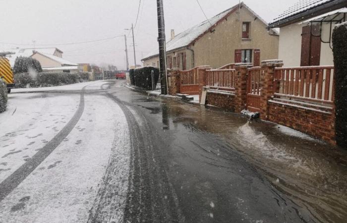
Vigilance extends for this Tuesday, January 21. Fifteen departments are placed on snow-ice yellow vigilance by Météo-France. These are Aisne, Calvados, Côte-d'Or, Eure, Eure-et-Loir, Loiret, Nièvre, Orne, Saône- et-Loire, Seine-Maritime, Seine-et-Marne, Yvelines, Somme, Essonne and Val-d'Oise.
Departments on alert
Aisne: snow-ice, floods
Dawn: floods
Calvados: snow-ice
Charente-Maritime: floods
South Corsica: avalanches
Haute-Corse: avalanches
Côte-d’Or: snow-ice
Eure: snow-ice
Eure-et-Loir: snow-ice
Loiret: snow-ice
Marne: floods
Nièvre: snow-ice
Oise: snow-ice, Floods
Orne: snow-ice
Saône-et-Loire: snow-ice
Savoie: avalanches
Haute-Savoie: avalanches
Seine-Maritime: snow-ice
Seine-et-Marne: snow-ice
Yvelines: snow-ice
Somme: snow-ice, Floods
Essonne: snow-ice
Val-D'Oise: snow-ice
A disruption from Tuesday
According to Météo-France, this Tuesday, “a disturbance will begin to approach the Atlantic coast in the afternoon, while the sun may temporarily return to the north and east of the country.”
Et the wind will strengthen over the hours, reaching 80 km/h at peak, in addition to the few flakes which could fall on an axis in the north-east of France (and on Charente-Maritime, the only department in the south-west on alert).
-In terms of temperatures, it will still be very cold this Tuesday, January 21.
The minimum values are -4 to 0 degrees from Normandy and Center-Val-de-Loire to the Grand-Est, from -3 to 2 degrees over the rest of the northern half and the Massif Central, from 0 to 5 degrees in the South-West, 3 to 7 near the Mediterranean.
The maximums, for their part, are generally increasing, except under persistent fog: they often reach 4 to 9 degrees in the northern half and in Rhône-Alpes, 8 to 12 degrees in the south, with peaks between 13 and 15 degrees. at the foot of the Pyrenees and on the edge of the Mediterranean.
Follow all the news from your favorite cities and media by subscribing to Mon Actu.


