The National Weather Service has reissued a winter storm warning in effect through Friday at noon areas of East Texas.
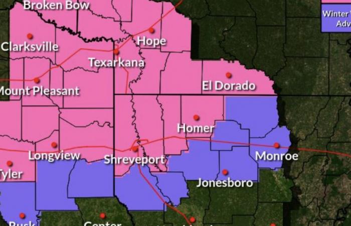
Texas counties included in the warning include Red River, Bowie, Franklin, Titus, Camp, Morris, Cass, Wood, Upshur, Marion, Smith, Gregg and Harrison. The warning runs through noon Friday; heavy mixed precipitation is expected. Total snow and sleet accumulations up 2 to 6 inches and ice accumulations up to a quarter of an inch are possible.
The CBS19 meteorology team’s latest forecast predicts less than an inch of snow for the northern portion of Smith County overnight Thursday and into early Friday morning. “Maybe a light dusting,” Chief Meteorologist Brett Anthony said Thursday afternoon.
A winter weather advisory was in effect for Cherokee, Rusk and Panola counties, with total snow accumulations up to 1 inch and ice accumulations up to 1/10 of an inch are possible. The advisory runs from 6 a.m. Thursday to noon Friday.
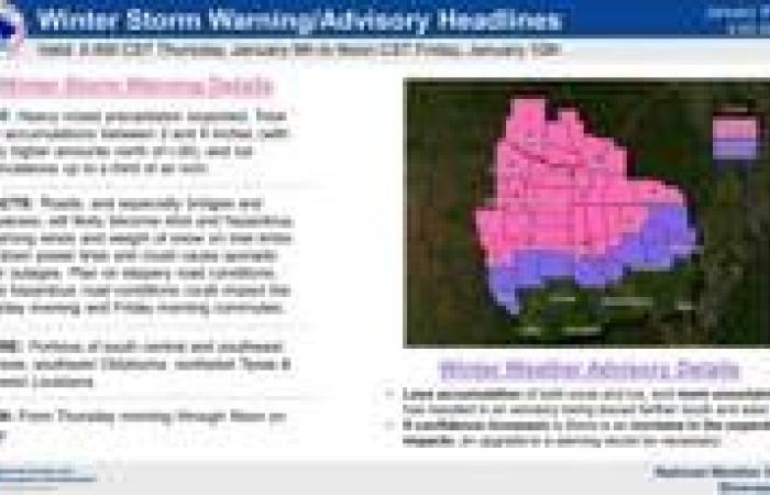
“Heavy mixed winter precipitation is expected to begin around midday on Thursday and last through Friday morning,” the NWS said. “Total snow accumulations between 2 and 8 inches, mainly along and north of the I-30 corridor, and ice accumulations up to one quarter inch are expected in the warning area (pink-shaded). Lesser amounts of snow and ice are expected farther south and east in the advisory area (purple-shaded).”
According to the National Weather Service, heavy mixed winter precipitation is expected to begin around midday on Thursday and last through Friday morning. Ice accumulations up to one quarter inch are expected in the warning area including Smith County. Lesser amounts of snow and ice are expected farther south and east.

The greatest potential for heavy snow is expected to be Southeast Oklahoma, far Northeast Texas and the adjacent terrain of extreme Southwest Arkansas.
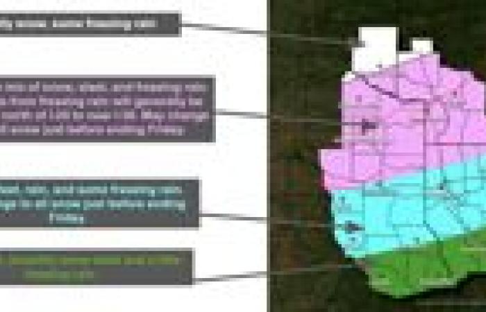
A wintry mix of snow, sleet, freezing rain and rain is expected south of a line from Valliant, Oklahoma to Nashville, Arkansas and north of a line from Rusk, Texas to Monroe, Louisiana.
The greatest impacts from freezing rain/ice are expected from Interstate 30 to near I-20.
Confidence is high that we will get wintry precipitation, Kovacik said. Confidence is medium regarding accumulations amounts and locations. Changes from earlier forecasts showed slightly colder temperatures, which means the onset of precipiation is likely to be a wintry mix in more areas.
Changes also include a slight increase in the highest impacts from a wintry mix slightly south to I-20.
The forecast remains highly variable and extremely dependent on temperature trends, the NWS said. The latest trends suggest additional changes to details are likely before the onset of precipitation on Thursday

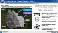
The National Weather Service provided further timelines for snow and ice expected Thursday and Friday in East Texas, and issued a winter storm warning for the northern parts of the region. (Contributed Graphic)
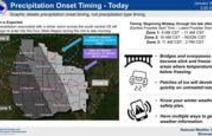
According to the NWS, mixed precipitation will continue to spread eastward into East Texas and may begin in portions of extreme Northwest Louisiana around noon Thursday. Between 3 and 5 p.m. Thursday, the mixed precipitation will have spread into Deep East Texas.
As heavier precipitation moves into the region Thursday night from the southwest, the NWS said this could transition mixed precipitation into mostly rain late evening mainly along and south of I-20.
On Friday between 5 and 7 a.m., wintry precipitation type should transition more to snow/sleet, but may still be mixed with rain and freezing rain, especially across Northeast Texas and Southwest Arkansas. Mostly rain is expected farther south, with less of a wintry mix.
Rain and snow mix is possible on the back edge Friday morning as the precipitation begins to diminish by late morning north of a line from Tyler to El Dorado, Arkansas.
Daytime highs on Thursday will likely be above freezing. The exact time any given location falls below freezing will be highly variable, and will have major effects on the precipitation type and the accumulations, the NWS said.

