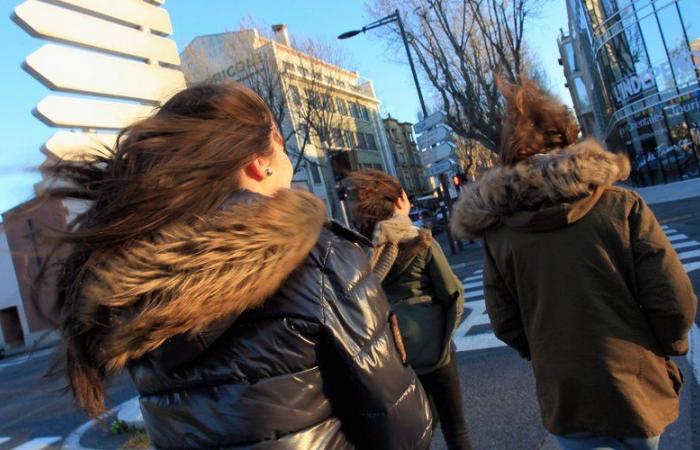
The second part of the week promises to be significantly windier than the first.
The weather conditions will deteriorate from THURSDAY along the Mediterranean arc. “The tramontana will rise at the end of the day, and may blow violently in the evening, reaching 100 km/h in gusts“indicates Météo-France in its forecasts.
Thus, the meteorological organization is counting on “a strong gale possible around the Mediterranean between Thursday evening and Friday“. “Friday, in a northwesterly flow and a trailing sky, the wind will significantly strengthen in the Mediterranean with gusts exceeding 100 km/h in the area of the mistral and the tramontane”write the forecasters.
“It will also blow very hard in the mountains”
Along the coasts, the storm threshold, around a hundred km/h, or even more, could be reached, as shown in this infographic from The Weather Channel. “A real storm of mistral and tramontane is expected in the Mediterranean this Friday”, announces on its X account the continuous weather information channel, which indicates that “It will also blow very hard in the mountains.”
Finally, the gusts would only weaken moderately from the end of the day on Friday. Saturday, a lull is expected but from Sunday, from the end of the day, the wind should pick up and reach 90 km/h in Roussillon.
France


