Updated at 8:18 p.m.
Municipal officials around Vermont prepared for the impact of heavy rain on Wednesday, but after the National Weather Service downgraded its expected rainfall totals, some said they had become less concerned about major flooding.
“The steadiest and most consistent rain is coming through over the next probably three hours to four hours,” John Goff, a hydrologist with the National Weather Service in Burlington, said just before 6 p.m. on Wednesday. “Then it tends to taper off and into a little snow shower flurry, light snow, overnight.”
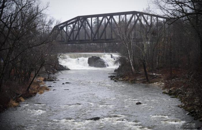
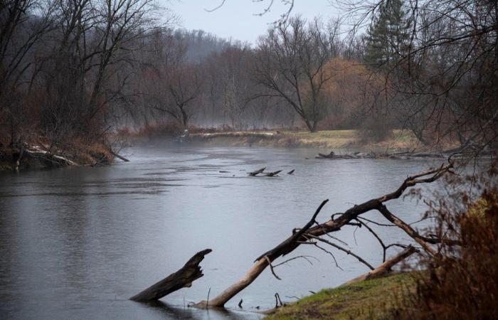
Goff said some rivers were expected to reach minor flood stage, including the Otter Creek in Rutland, several spots along the Winooski River, the Mad River in Moretown and the Connecticut River at Wells River.
“Right now, we’re looking at kind of a general, minor flood event,” Goff said.
While a flood watch remained in place for almost the entire state, he said he didn’t expect the storm to be as bad as last December, when Vermont saw milder temperatures, heavier rain and wind that melted the snow.
Rivers were expected to rise overnight, then crest on Thursday morning and into the afternoon. After temperatures turn cold overnight, Goff said, drivers should be wary of ice patches on Thursday morning.
The weather service’s forecasted river flow may not be accurate in some locations, Goff said. For example, in Moretown, the weather service had predicted the Mad River would rise almost five feet, from 4.7 to 9.4, between 6:40 p.m. and 7 p.m. He said he doubted the river would rise so quickly.
Forecasters in the Boston office, covering all of New England, were understaffed, he said, and may not have updated the projections.
Stefan Pratt, Moretown’s fire chief, said the town was hoping for the best outcome but preparing for the worst. He said he planned to stay overnight at the fire department and drive to assess spots that frequently flood before determining whether anyone should evacuate.
“You never know what you’re going to get anymore,” he said.
The town suffered impacts from flooding in July 2023, December 2023 and July 2024, with the latest incident causing the most damage.
“These people have just been through hell, and then hell again, and then hell again,” he said.
On Wednesday morning in Rutland, Mayor Mike Doenges said the city’s emergency management department and fire department crews were on standby. Doenges urged people to avoid danger by calling public safety teams and not driving through flooded roadways.
“The best way to help is to do it safely,” said Doenges. “If you see something like a neighbor that might be struggling because their yards flooded, or the driveways flood and they can’t get out, we would ask that people call us, call the public safety teams, and ask them to come and help … before putting themselves in danger with floods.”
Doenges said that, in recent years, Rutland City has invested in preventive measures to avoid the worst of the flooding. This includes ensuring crews have appropriate resources to act fast as they monitor flood rise and deploying crews before storms to clean stormwater catch basins of debris to improve flow and storage in the stormwater system.
Now, the mayor said, “when we do get heavy rains, the systems are clean and ready to handle those heavy rains.”
Doenges said that homes and establishments located near Otter Creek are most vulnerable to the effects of flooding. Depending on the level of impact, Doenges said that the city was ready to call on the Red Cross and had identified locations for people to seek safe shelter from flooding if necessary.
Town officials in Essex Junction and North Bennington, where rivers were projected to rise to moderate and minor flood stages, respectively, said they were less concerned about potential flooding. Sergeant Christopher May of the Essex Junction Police Department said he planned to monitor locations that frequently flood and assess next steps if necessary.
At a press conference early Wednesday afternoon in Montpelier, Vermont Emergency Management reported that the National Weather Service had just informed the state that it had reduced its expectations of rainfall totals.
The weather service also downgraded its estimate of the amount of snow on the ground from 1.5 to 0.5 inches. Melting snow had been expected to play a role in flooding due to Wednesday’s warm temperatures.
“This will reduce the amount of water that mixes in with the rain to create any potential flooding through the rivers,” Eric Forand, director of Vermont Emergency Management, said at the press conference.
“Snowmelt, and the amount of water that comes out of a snow pack when you melt the snow, is very, very challenging (to estimate) from a higher hydrological modeling perspective,” Goff later explained. “It’s kind of a wild card.”
At midday on Wednesday, the weather service warned of flash flooding in smaller bodies of water. Maureen Hastings, a meteorologist at the weather service’s Burlington office, said that flooding in poor drainage areas in urban environments could begin later Wednesday afternoon or into the evening hours.
Because of the late hours of the flood’s peak, Mark Bosma, a spokesperson for Vermont Emergency Management, cautioned Vermonters near waterways to have their phones near them overnight in case they needed to be evacuated. In that event, emergency responders could do a “reverse 911” call to a specific area, Bosma said in an interview Wednesday morning.
He also advised Vermonters to sign up for VT-Alert for more notifications about road closures, local flooding and other emergencies.

And he emphasized the weather service’s common refrain for dealing with floodwaters on roadways: “Turn around, don’t drown.”
“Even if it doesn’t look like there’s a lot of water on the road, that can be difficult to really tell, and looks can be deceiving,” said Abbey Gant, a meteorologist in the national weather service’s Albany office.


