Par
Sebastien Lucot
Published on
Nov. 20, 2024 at 6:15 p.m.
; updated on Nov. 20, 2024 at 6:31 p.m.
See my news
Follow La Presse de la Manche
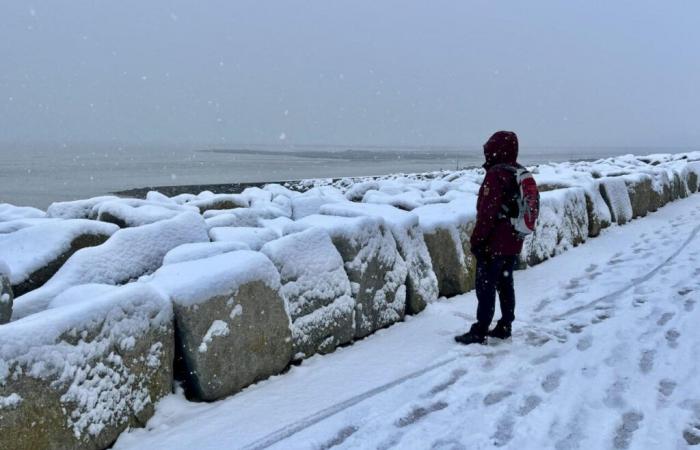
The winter frosts arrive before their time in Normandy. While the leaves are still hanging on and coloring the trees, a white coat will cover a good part of the landscape this Thursday November 21, 2024.
After the windy and rainy period giving up to 65 millimeters of rain in two days in the center of Cotentin, the weather conditions of this week will continue to deteriorate. Of the Wednesday morningMétéo-France services were already placing the Channel, as well as 27 other departments of a strip going from northern Brittany to the borders of eastern France, in orange warning for snow and ice.
To recontextualize this unusual winter situation for the season, it is now remarkable to observe snowfall at this time of year: “We have to go back around twenty years to find a snowy episode in Normandy this early” , informs Daniel Vendramini, head of the Météo-France forecast service in Rennes.
In fact, a mass of cold air present in northern Europe has arrived over the northern regions of our country since Wednesday. In the south of the country, very mild air at altitude opposes this flow of cold air, this conflict giving rise to a disturbance coming from the Atlantic, driven by a depression already named Caetano.
Normandy, located to the north of its center having to flow from Brittany towards the Alps, will remain exposed to a wind from the East to the North-East and to the air mass coming straight from the Arctic Circle.
The timeline of events
The first precipitation will approach the western side of the Manche department at daybreak. With the mercury oscillating between 0 and 1 degree, these will quickly turn into snow.
“The weather models came into agreement on Wednesday, with Normandy among the regions where the potential for high intensity snowfall is there. »
Normandy being a land composed of relief, the sectors of Orne, southern Calvados and the center and south of the department, the famous Norman hills, being the most exposed. Indeed, as in the mountains, the higher the altitude, the more the temperature drops, of the order of one degree every 100 meters.
If the land is more exposed, snow could reach the Manche coast, mainly the west of the department. If the holding of white gold seems more compromised in towns like Granville or Cherbourg, the Saint-Loise region, Villedieu-les-Poêles or even throughout the South Channel where the relief frequently exceeds 200 meters above sea level. At altitude, around ten centimeters could cover the ground. On the side of Sourdeval and Mont Robin near Percy, around fifteen centimeters is envisaged.
This snow, heavy and sticky, could disrupt road traffic since this burst of snow will last until the end of the afternoon. Added to this will be a noticeable northeast wind, reinforcing the feeling of cold with a feeling of between -6 and -8. We can therefore speak of a blizzard on the Normandy hills where gusts will reach 70 to 80 km/h, forming a few snowdrifts in places.
A freezing feeling
In the afternoon, temperatures will return above 0 degrees in the north of Cotentin and will allow the snow to melt. However, the following night promises to be frosty, thanks to clearings. “We will have to monitor the refreezing phenomenon,” warns the Météo-France forecaster. We will be able to note, under shelter, -4 to -5 degrees in the south of the department, where a few snow showers are still expected and could deposit a few more centimeters depending on the sector.
If the weather becomes dry again on Friday, the cold will still be present. We will have to wait until the weekend to see the thermometer regain color. And not just a little since it could reach 15 degrees on Sunday. However, you should not count on feeling like spring. Indeed, this mildness will return in force with the help of a new very active depression and stormy winds that can exceed 100 to 120 km/h.
Follow all the news from your favorite cities and media by subscribing to Mon Actu.


