Par
David Saint-Sernin
Published on
Nov 19 2024 at 5:53 p.m
See my news
Follow Toulouse News
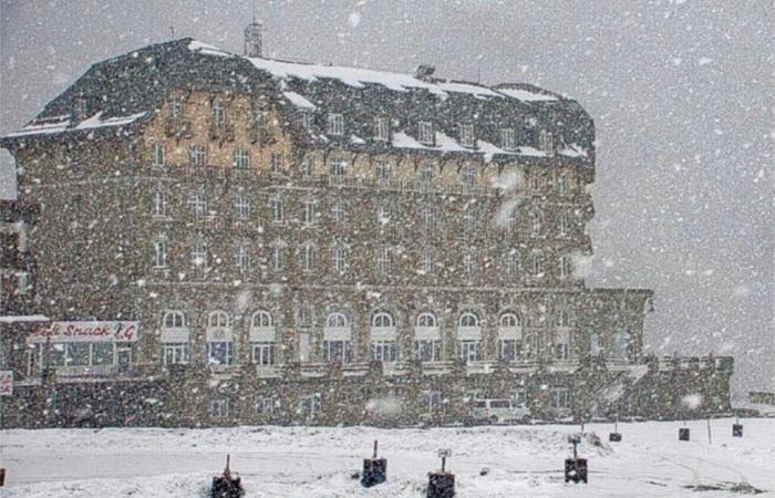
A few weeks before the supposed openings announced by the ski resorts in Haute-Garonne, the snow is waiting in the Pyrenees.
Tuesday November 19, 2024, the Pyrenean summits remain very green despite some occasional snowfalls.
You have to go above 2,300 meters in altitude to find a thin layer, and still not homogeneous if we are to believe the cameras which film live the areas of the department's ski resorts.
First snowfall to come
“This situation will not last. Two disrupted passages on the chain Tuesday, Wednesday then Friday should bring snow,” Météo Pyrénées announced on Sunday.
Contacted this Tuesday, Christophe Dedieu from Météo Pyrénéesconfirms these forecasts Toulouse News :
“This first disturbed passage could bring 30 centimeters to the west of the range around 2000 meters and 15 to 20 centimeters in Haute-Garonne, at the same altitude. The characteristic of this snowy phenomenon is that it will snow more at the foothills of the Pyrenees than at the bottom of the range. In Haute-Garonne, this snow could fall in Superbagnères for example. The snowfall will be lighter and lighter as we go east of the Pyrenees.”
Snow returns Friday in Luchonnais
After a return to calm on Thursday, the snow will return on Friday.
“It is still the west of the Pyrenees which will be on the front line. Between 40 and 50 centimeters could fall between 2000 and 2500 meters, in the Hautes-Pyrénées. In Luchonnais, we will take around twenty additional centimeters with a rain and snow limit between 1700 and 1800 meters,” explains Christophe Dedieu.
Not enough to whitewash the foot of the slopes in the resorts of Haute-Garonne.
Upcoming spring weekend in the Pyrenees
And from the weekend, according to Météo Pyrénées, a real warm spell will be felt at altitude due to the Foehn effect.
“It's a spring-like weekend ahead: 18 to 20°C at 1500m on Sunday and 22 to 24°C at the foot of the Pyrenees, perhaps more due to the Foehn effect! There is no doubt that the weak snow cover in the mountains will not last long, except at very high altitude…. Mild but less excessive conditions could also continue at the end of November and the beginning of December. This yoyo between snowy weather and then a significant warm spell is unfortunately a great classic of recent winters in the Pyrenees. This is one of the signs of global warming from my point of view,” explains Christophe Dedieu.
A mild spell which risks weakening the opening forecasts for certain ski resorts in the Pyrenees.
Follow all the news from your favorite cities and media by subscribing to Mon Actu.


