If the autumn has not been particularly cold so far, the situation will change next week with the arrival of a maritime polar air mass synonymous with cold and humidity…
With an anticyclone preparing to extend its influence towards France, The weather looks calm for this weekend. But this situation will only be temporary since the disturbed conditions will take over at the beginning of next week in most regions.
The weather will not only be rough but also cold, so much so that snow could appear at low altitude. It is between Monday and Tuesday that the weather situation will really change with the return of depressions in northern Europe as well as in the North Sea. Thus, a maritime polar flow will be established towards France…
Heavy snow between Alps and Jura, uncertainties in the plains
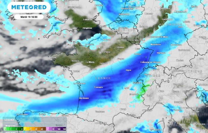
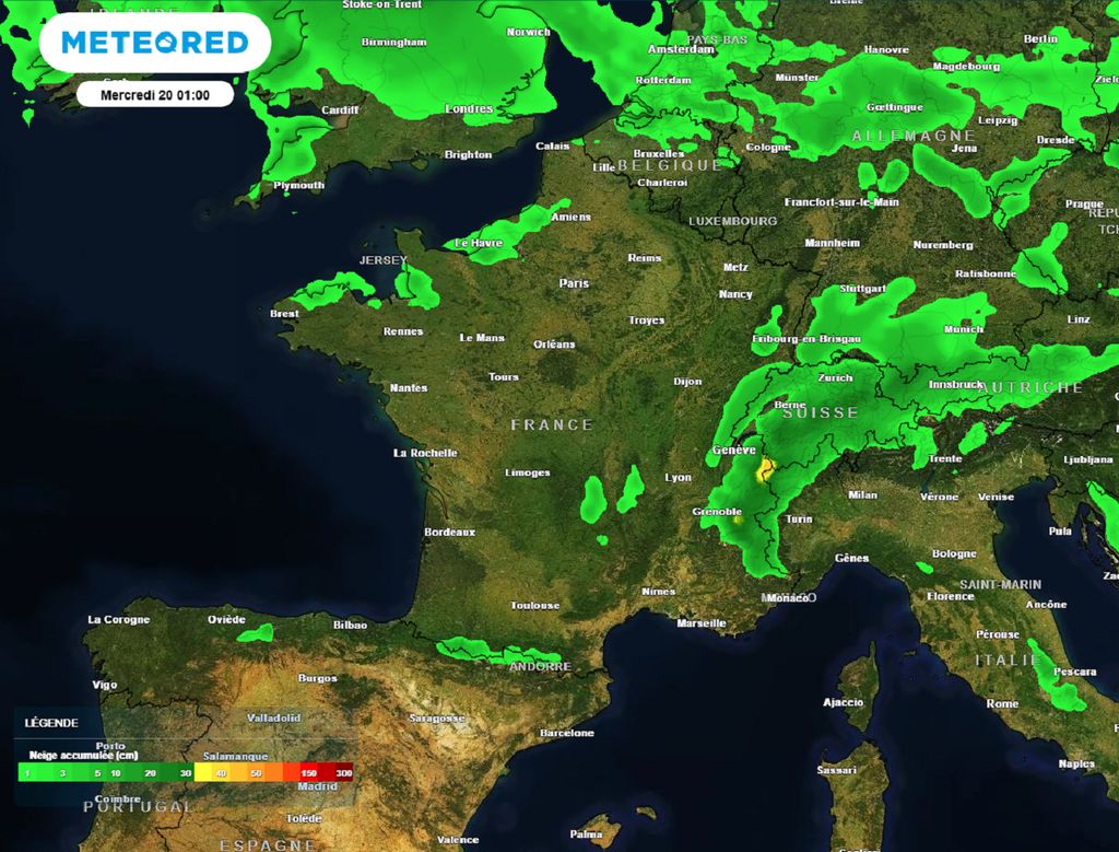
After the first not very active front (warm front) which brought a few drops north of the Seine on Sunday, a much more organized disturbance (cold front) will cross the country between Monday afternoon and Tuesday evening. The rains will be temporarily sustained while it will snow in all the massifs at increasingly lower altitudes due to the arrival of the maritime polar air mass behind said disturbance.
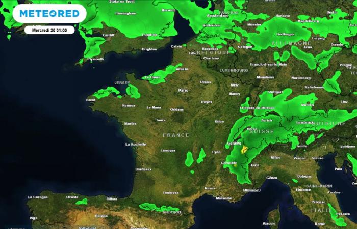
From Wednesday the weather will become very unstable with frequent showers of rain, sleet and snow at low altitudes. A few snowflakes could even temporarily appear in the plains, particularly in the northeast. The feeling will be even more wintry as the northwest wind will blow strong, thus reinforcing the feeling of cold.
Winter therefore seems to be coming to France next week, even if it is important to remain cautious. as for the exact chronology of events and the quantities of snow expected in the mountains or even in the plains…
Snow on the plains in autumn: deja vu?
If this year, the frosts have been particularly discreet until now with less than 10% of the territory affectedthe first frosts of winter have sometimes appeared very early in the season in the past! The last time is not that long ago since it was in 2018.
From October 26 to 29, France then experienced a remarkable cold peak with monthly records of very low maximum temperatures for the season with for example 5.5°C in Toulouse! Snowfall also occurred during this period in the northeast and central east with 2 to 5 cm in the plains or even 17 cm in Saint-Étienne (Loire), 18 cm in Château-Chinon (Nièvre) and even 30 to 45 cm from 1000 meters above sea level!
Other early snow episodes may have occurred in the past from the end of Octoberas in 2008 from Perche to Sologne with 4 cm measured in Laval (Mayenne) and 5 cm in Orne on the 30th. Same situation on October 28, 2012 this time near Grenoble with heavy and sticky snow which fell in abundance all the way to the plains. Result : a layer of around 35 cm and several thousand homes without electricity !
During the 20th century, these episodes of snow in the plains a few days before All Saints' Day were much more frequent but with climate change, the date of the first snowfall in the plains is moving back further and furtherso much so that it is now quite rare to see white gold falling outside of mountain regions before the month of December…


