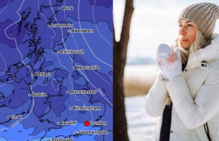
Millions of Britons are braced for a bucketload of snow later this month, with some areas seeing well in excess of nine inches of the white stuff.
Forecast data collected by WXcharts.com shows large amounts of snow and low temperatures sweeping across swathes of the British Isles from November 20.
At 6am that day, snow depth is forecast to be well below four inches (10cm) for most areas, with England’s south coast and Wales’ westernmost regions apparently spared from the whiteout.
But by November 23, it looks set to have increased in intensity, with areas around Birmingham potentially much as nine inches (24cm) of snow.
The maps suggest Wales and parts of England near the border it could also see amounts in the high teens, while Northern Ireland could get as much as 8cm in some parts.
In multiple areas of Scotland, snow depth could soar as high as the upper 20s (including communities towards the northeast around Aberdeenshire and Moray).
Temperatures will plummet around this time, maps by Netweather suggest, with almost nowhere in the British isles above 0C on November 20.
In an area appearing to encompass where West Yorkshire, Lancashire, and North Yorkshire meet, residents could be facing teeth-chattering temps of -8 or -9C that day.
By the 24th it will be warmer in the south, between 2C and 6C, but Scotland will be even more bitterly cold with a big blob of blue covering most of the mainland.
Temperatures in some areas could plunge to as low as -16C in parts around the Highlands.
The Met Office’s long range forecast for November 18 to 27 says frequent wintry showers are expected during this period, “mainly in the north and along eastern and western coasts where exposed to the strong north to northwesterly flow”.
“Snow is likely to fall to low levels, especially in the north. Many inland areas may be largely dry with lengthy sunny spells, especially where sheltered from the flow.”
However according to the government agency’s forecast, “there is a risk of some more organised areas of rain and hill snow running east across more southern parts.
But the chance of any widespread or disruptive snowfall affecting more populated areas at this stage remains low, the Met Office says.
“Cold everywhere with overnight frost, and the strong winds will result in significant wind chill. There is a hint that it may become less cold later in the period, with more of a westerly flow becoming established.”
Belgium


