Today’s Forecast:
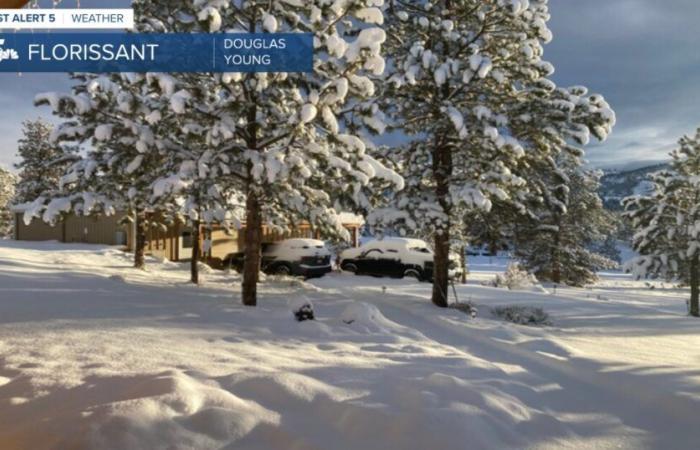
As you head out this morning, roads remain slick, icy, and snow covered. Keep in mind that some of this is going to be black ice, and you will want to be particularly careful on overpasses and bridges. That said, plow crews are working hard and skies are starting to clear- so conditions will improve through the morning. Temperatures start off chilly but will warm by 5-10 degrees from yesterday…still 15-20 below average for this time of year for southern Colorado though! Snow showers continue longer over the Palmer Divide – a Winter Storm Warning is in place through 11:00 AM. South of that, increasing sunshine is the name of the game which will mainly work to melt snow rather than notch the thermometers higher. Parts of our area will still be experiencing a chilly breeze today, my eyes are mainly on the Palmer Divide, Wet Mountains/Sangres, and Teller county on northwest slopes.
Colorado Springs forecast: High: 42; Low: 24.
Increasing sunshine but still cold in Colorado Springs today with high temperatures 15-20 degrees below average. Northwest winds at 10-20 mph. Bundle up for the Veterans Day Parade – temperatures in the upper 30s to start, low 40s at the end, remaining chilly all day.
Pueblo forecast: High: 42; Low: 21.
Mostly sunny and chilly – a nice morning to take the kiddos sledding. Snowmelt sunshine will lead to drops in the height of snowpack through the day, but expect hidden black ice on secondary roadways and under any heavily shaded ares. Winds from the north early then becoming southwest in the afternoon at 10-15 mph.
Canon City forecast: High: 46; Low: 31.
Woodland Park forecast: High: 39; Low: 21.
Tri-Lakes forecast: High: Low 40s; Low: 20s.
Plains forecast: High: 30s/40s; Low: Teens/20s.
Walsenburg and Trinidad forecast: High: 40; Low: 20s.
Mountains forecast: High: 30s; Low: Teens/20s.
Extended outlook forecast:
Quiet weather returns for much of our long term forecast. Temperatures warm Sunday with plenty of sunshine but stay below average. That trend – low/mid 50s and sun for much of I-25, continues through Tuesday when a fast moving system approaches. It’ll bring snow to the central and western mountains Tuesday and lead to a moderately breezy Tuesday before dropping a cold front through southern Colorado Tuesday night. A lack of any solid moisture supports and northerly wind flow should keep it mainly dry around here. I won’t rule out a flurry or two, but with the moisture up in Wyoming…hard to get much snow! Wednesday will be cooler with highs down to the mid-40s.
____
Curious about the First Alert 5 Weather Storm Impact Scale? Check out our cheatsheet explainer.
Watch KOAA News5 on your time, anytime with our free streaming app available for your Roku, FireTV, AppleTV and Android TV. Just search KOAA News5, download and start watching.


