The technology company has been collecting visual scans of the world for several years now and now wants to form a navigation system with them.
Niantic is working on a large ‘geospatial model’ that could help you navigate the physical world. This is what the company announces on its site. This is a large AI model in the style of an LLM such as ChatGPT. However, instead of masses of text, the model uses scans of the real world. These millions of scans are made by the many players of its mobile games, of which Pokémon Go is probably the best known. This appears to be the first time a large AI model has been trained from mobile games.
It goes like this: Participants in Niantic games are sometimes invited to ‘scan’ locations in the world, such as a bridge, a statue or an important building, by framing them from different angles with their mobile phone’s camera. Niantic then uses these scans to create 3D maps. ‘Over the past five years, at Niantic, we have been preparing our ‘Visual Positioning System’ (VPS). The latter uses the slightest image from a phone to determine its position and orientation on a 3D map created by people who scanned interesting places in our games and in Scaniverse’, we declare at Niantic by the way of a press release.
Navigation
The idea is that such a VPS can interpret images from different angles and perspectives, and therefore also knows where you are if you are on the less photographed side of a cathedral for example.
The so-called ‘large geospatial model’ (lgm) was formed with scans of more than ten million sites around the world. Many of them are further photographed from a pedestrian’s point of view and in locations inaccessible to more traditional ‘streetview’ cars. In total, the company has trained 50 million neural networks, which should enable navigation in a million locations. The company hopes the technology (through licensing, for example) can contribute to applications for AR glasses, robotics and autonomous systems.
Augmented reality
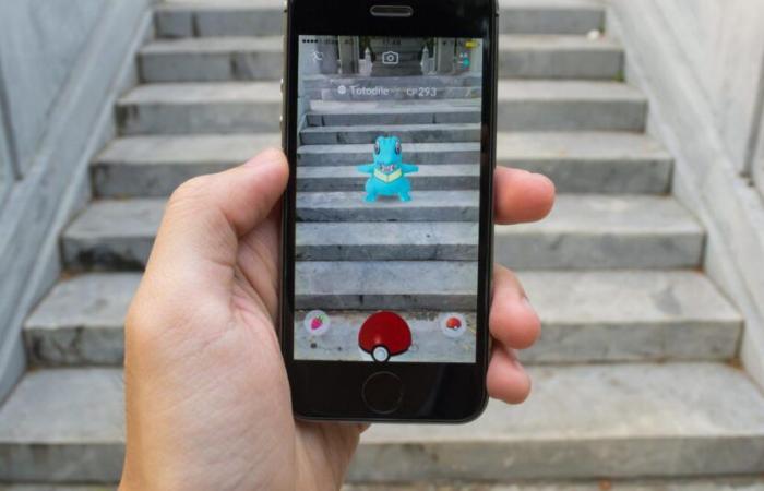
Niantic has been around since 2010, making ‘augmented reality’ games, where the action takes place on your screen, but you have to travel to locations in the physical world. The company is best known for Pokémon Go, the AR game that allows you to catch the well-known little monsters during a walk in a park or on the way to the supermarket. In addition to this game, Niantic also released Pikmin Bloom (also based on a Nintendo series), as well as similar games based on Harry Potter and Monster Hunter.
Each of these games included some form of scanning or geo-mapping. In Ingress, Niantic’s first game, this was even a fairly important part of the gameplay. So it’s no surprise that the company is now launching an AI navigation model. The question is of course whether the many (often young) players who carried out the scans knew that they were taking part.


