During a briefing hosted by Google, representatives from Maps and Waze detailed some of the new features that will be implemented. For Maps, Google said it was expanding the AI-powered “Immersive View” feature to 150 cities around the world, with the rollout starting this week.
Immersive View uses machine vision and artificial intelligence to merge Street View and aerial images to obtain a 3D view of the cities involved. Users can even scroll through the weather and other changes throughout the day. Earlier this year, Immersive View was expanded to five Canadian cities – Montreal, Calgary, Toronto, Ottawa and Edmonton – with Vancouver and Surrey to be added by the end of the year.
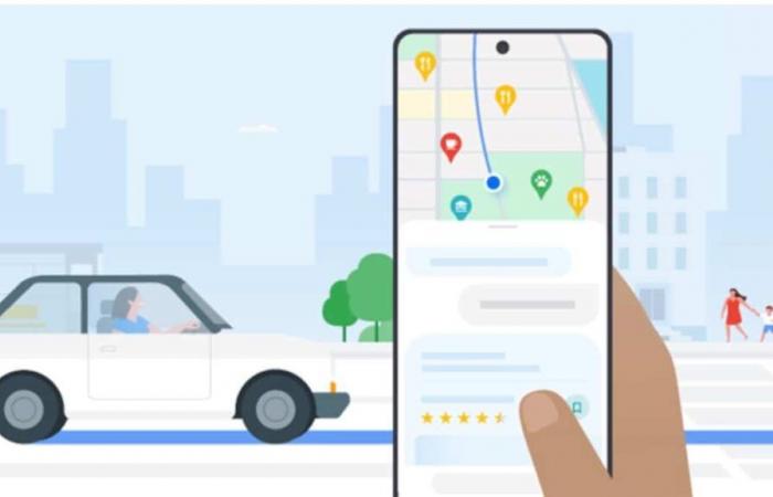
Google also introduced Gemini-powered tools in Maps. For example, when users ask questions in natural language, Gemini can now surface options showing places that match the request. Additionally, Google will use Gemini to summarize reviews, allowing users to get an idea of what to expect from a place without having to read hundreds of reviews.
Ask Maps to inspire you with Gemini
Along the same lines, Maps is getting an “Ask Maps about this location” feature, powered by Gemini. Users can ask questions about a specific location and get relevant answers based on Maps data.
These Gemini features will begin rolling out in the US on Android and iOS this week and will expand to Search in the coming months.
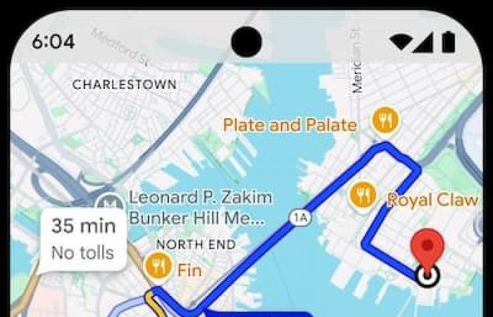
Google Maps will also improve navigation in several ways, including adding the ability to report weather disturbances. It will also be easier to explore along your route (global rollout this week).
Add stops to explore locations
Google
Report an incident verbally with Waze
Waze users also benefit from useful new features. The most notable is the “Conversational Reports” feature powered by Gemini. Now Waze users can tap a button and say what they’re reporting, instead of tapping a symbol on the screen. The Waze app can also ask follow-up questions to get more details from drivers. This feature will be available on Android and iOS.
In addition, Waze adds school zones to its maps and a program Waze for Cities which allows local details, such as road closures, to be added to maps.
More than 2 billion users turn to Google Maps every month for navigation help.


