Updated January 4, 2025 at 1:00 a.m.
Snowbirds won’t be spoiled next week.
While the first days of January were below normal in Quebec, the atmospheric context is about to change.
In winter, the polar vortex plays an important role in distributing cold air. In the coming days, it will position itself over Hudson Bay and thereby push the jet stream further south. Consequence? A descent of arctic air could affect the southeast of the continent, as far as Florida!
More than 10°C below normal in Florida
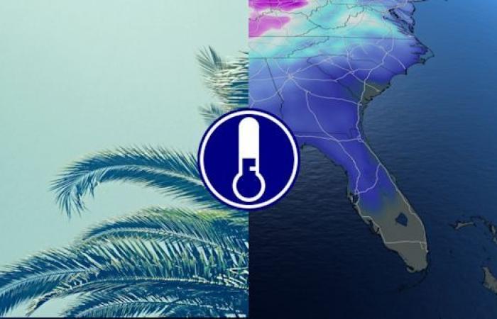
Florida, coveted for its mild temperatures even in the middle of winter, will be under the influence of this cold air mass over the next week. The nights will be particularly cold and could drop below 0 degrees. These negative temperatures risk causing frost! Days will also be cool with anomalies of at least 10 degrees above normal, particularly in cities in the north of the state.

Most counties in northern and northwest Florida will experience temperatures below freezing. The cities of Jacksonville and Orlando will be particularly worth watching for the bitter cold, where the thermometer could show up to -5°C.
In addition to the disappointment of vacationers, these freezing temperatures are not usual in a state like Florida. The formation of ice and snow could also disrupt the movement and daily activities of residents.

Quebec safe
In the North and Center of Quebec, on the other hand, it will be the opposite. While the cold flows further south, a depression, ideally positioned to the north of La Belle Province, should push back the cold air and cause the mercury to rise. Temperatures will be above seasonal norms for much of next week. Although southern Quebec will experience cooler weather, the anomalies remain below those that Florida will experience.
With the collaboration of Stéphanie Bergeron, meteorologist.


