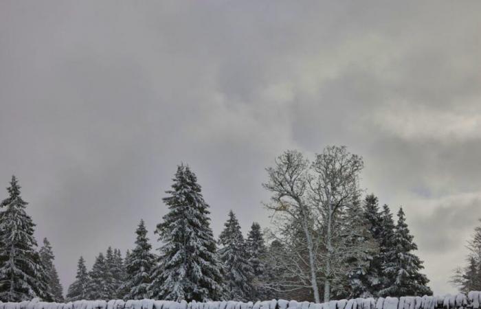
Snow returns on Tuesday in the mountain regions. Tomorrow morning, between 20 and 50 cm are expected above 1800 meters altitude. Locally, in Lower Valais and the Bernese Alps, even greater quantities could fall over the next 24 hours, according to Météosuisse. Up to 20 cm of snow could cover regions from 1000 meters on Wednesday morning.
Several warnings from the Confederation have been in effect since Tuesday morning. The danger linked to snow is high (level 3 out of 5) in a large part of the Alps. Flooding is possible in the Vaudois Jura. Authorities are calling for caution along rivers. The southwest wind is weak to moderate in the morning on the Plateau, becoming strong in the afternoon then stormy at times in the evening and at night. Tuesday, it will be a maximum of 10°C in the plains and 0°C at 2000 meters.
From Wednesday, snowflakes could fall all the way to the plains. Precipitation will be less abundant and sunny spells are expected during the day. Further precipitation is expected from Thursday afternoon. The rain-snow limit will rise to around 1500 meters before falling again overnight.
Above this limit, up to 50 cm of new snow could fall again. On Friday, showers are forecast. Snowflakes are still expected to fall frequently in mountain regions. The weekend should be drier and milder. It will be between 6°C and 12°C maximum on the Plateau.
Swiss


