
Mountainwatch | The Grasshopper
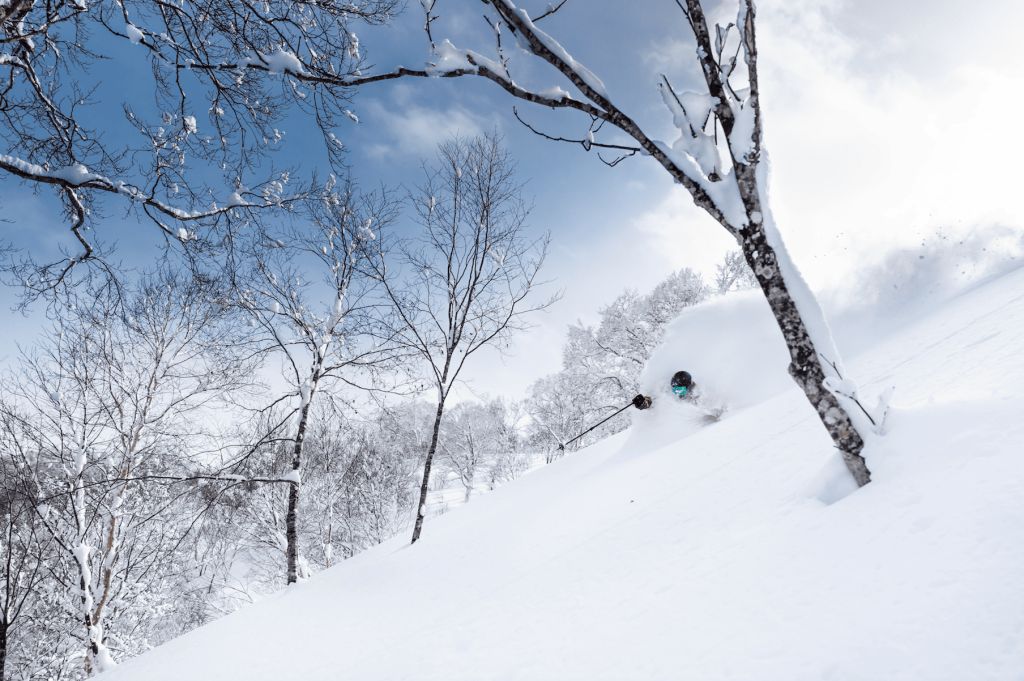
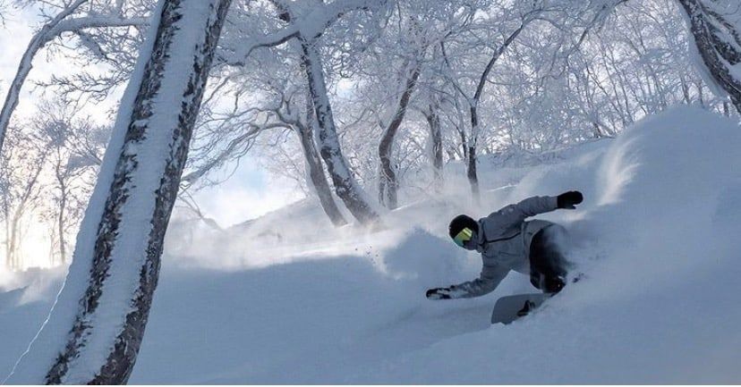
With the Australian snow season not as memorable as we might’ve hoped we now turn our gaze to the North, specifically Japan in this outlook, and I’m feeling optimistic for the snow season ahead.
As you might have heard through the grapevine there’s a good chance of a La Niña developing in the Pacific through the coming Northern Hemisphere winter, which is good news for those of us who are keen on skiing some world-famous Japanese powder. Although ENSO (El Niño–Southern Oscillation) is the dominant mode of seasonal variability on Earth, not all events (The Girl or El Niño) are created equally, so let’s unpack what we’re specifically looking at for this winter.
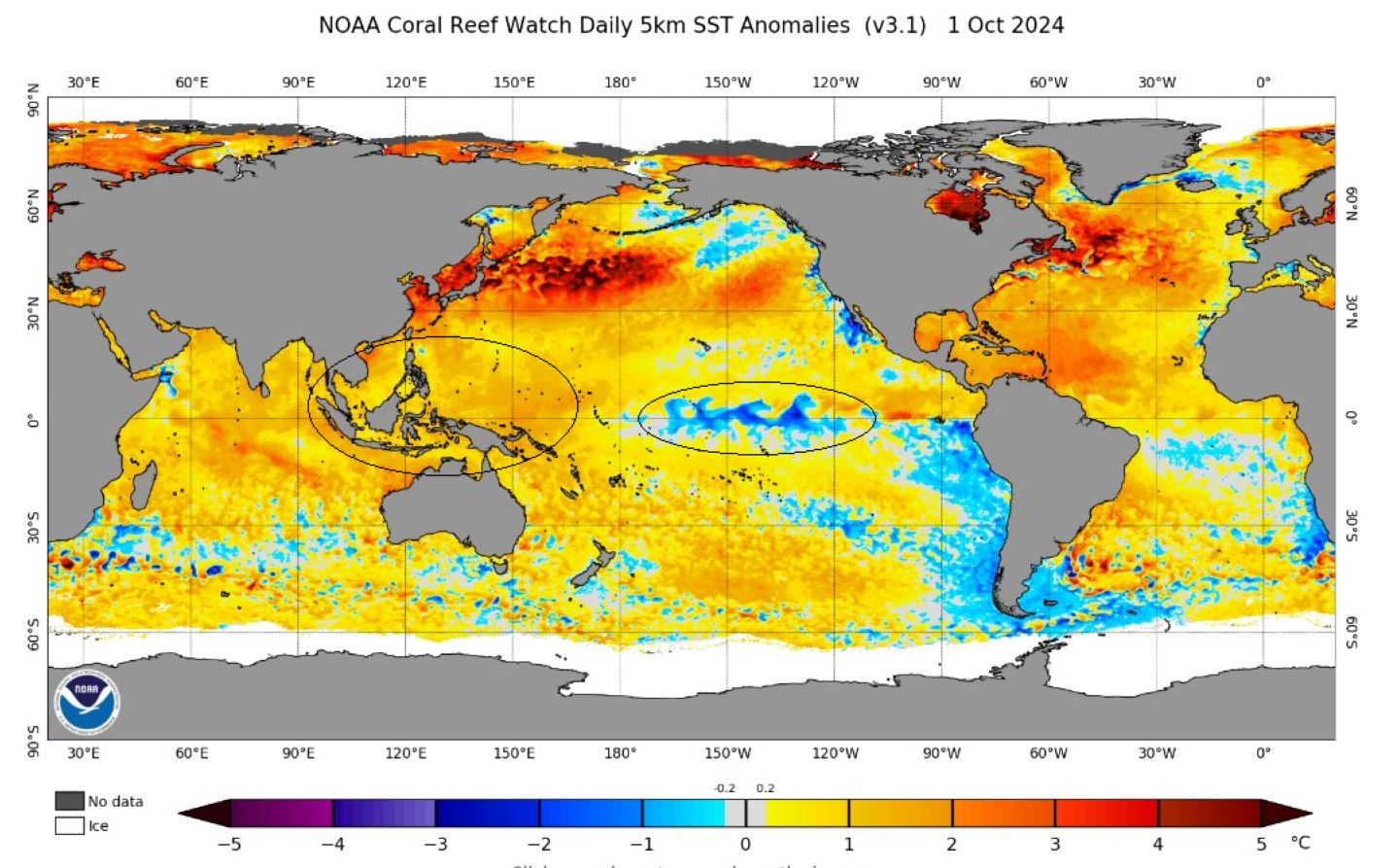
First, a quick La Niña recap for those playing at home. La Niña is categorised by anomalously cool sea surface temps (SSTs) in the central Pacific, impacting the global ocean atmosphere circulation through strengthened trade winds. The trade winds blow east to west, piling up warmer than normal waters in the western side of the Pacific (think all the tropical Islands north of Australia) which we can see in the SST anomalies below.
How does this relate to deep stashes of Japow? The La Niña is also associated with an increase in strength of the East Asian Winter Monsoon (EAWM) resulting in stronger, cold northwesterly winds coming in from freezing Siberia blowing over the Sea of Japan, the wind collecting buckets full of moisture before dumping it in the form of snow over our favourite hills. And, it is the stuff dreams are made of – light, dry powder.
Alright now let us look at this Japan’s winter ENSO forecast in isolation. The graphic below compares forecasted central Pacific SST for a specific area known as the Nino 3.4 (used as the best indicator of ENSO state). We see all models are going for cooler than normal conditions through December and January but many remaining in the neutral zone (white region) rather than extending into La Niña territory (blue).
But do not despair as to just add a little more complexity to the outlook, the threshold used for beyond neutral changes, depending on who and where you ask. For example, Australia’s Bureau of Meteorology uses +/- 0.8 compared to the United States’ NOAA (National Oceanic and Atmospheric Administration) using +/- 0.5. This might seem like much of a muchness, but mother nature is a fickle beast, it also helps understand why we might see differences in messaging from different meteorological info sources.
As of their latest update NOAA is putting it at a 71% chance of a La Niña event emerging from now through November and the Japan Meteorological Agency (JMA) is putting the number at 60%. Right now, the conditions are sitting at La Niña-watch with good signs visible.
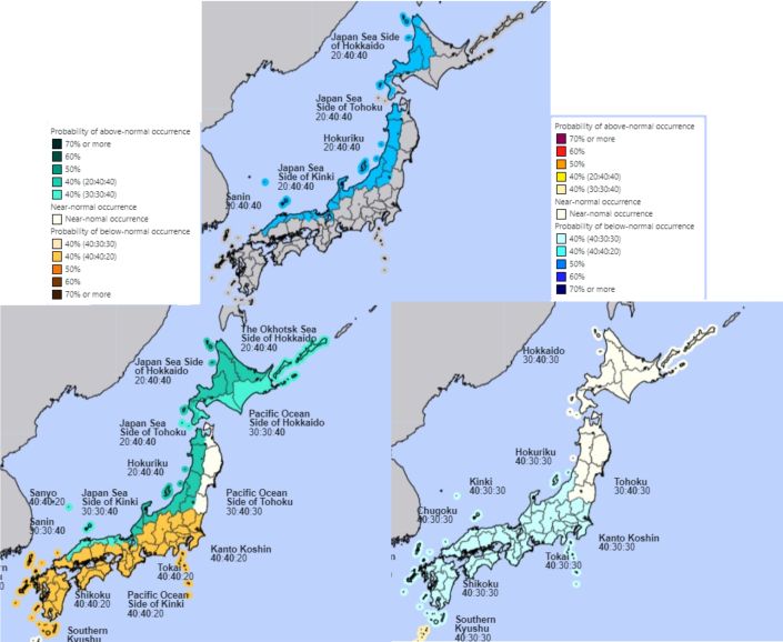
So, what does all that babbling mean? Grasshoppers are visual learners, so we have the JMA winter outlook products below and average seasonal outlook product from some of the other major players. We can see many blues and less reds in key areas, usually a good sign.
The JMA are forecasting a 40% chance of above average snowfalls across the winter with similarly 40% chance of average snowfalls. For temperature the JMA outlook is more neutral with average conditions expected through Hokkaido, Hokuriku and Tohoku.
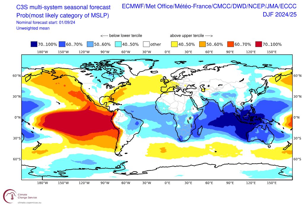
The MSLP (mean sea level pressure) forecast for the winter aligns with what we’ve already covered. The large mass of lower than average MSLP over the maritime continent is suggestive of increased convection (stormier) which aligns with the expected La Niña event. Another notable feature is the low pressure over Japan and extending into the Western Pacific (off the eastern coast of Japan). Anomalous low-pressure systems in the Western Pacific are seen as La Niña’s way of talking to the EAWM. Low pressure circulations in this area help strengthen and drive the northwesterlies coming across the Sea of Japan. Again, good signs.
What have we learnt?
Signs at this stage are pointing to an average to above average snow season being the most likely outcome. Which is no surprise considering La Niña events of the past providing some of the most memorable turns. Stay tuned to see how La Niña and the Japan outlook shapes up in the lead up to winter. Also, keep an eye out for my first North American outlook and how a potential La Niña may impact snowfalls in the US and Canada – out soon.