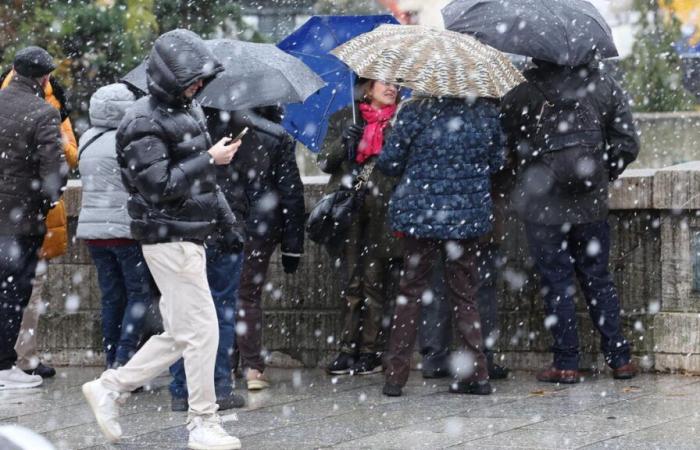
Further snowfall is expected in France this week. Their intensity and precise location remain to be clarified. But it seems certain that the north of the Hauts-de-France region will be affected whatever happens.
From Tuesday onwards, the situation will be conducive to the formation of flakes. But it is especially from the night of Wednesday to Thursday and during the day of Thursday that the situation should be particularly monitored. If the massifs will be affected, snow should also fall on the plains in the north and north-east of the country.
The departments of Nord and Pas-de-Calais would be the most exposed. This map from Météo France shows the anticipated situation, for the moment, for Thursday afternoon.
For Tuesday the meteorological organization describes “uncertain and temporary ground hold, which does not constitute a dangerous character at this stage”. On the other hand, from Wednesday, “a temporary but significant episode of snow is expected in the northern third of the country at midday. In Nord Pas-de-Calais, snowfall could last longer. The risk is therefore greater.” On Thursday, “the disturbance progresses towards the south”. “It continues to give snowfall at low altitude until the morning in the northern and northeastern regions.”
In the coming days, France will find itself in the middle of a classic air mass conflict at this time of year. In the south of the country there will be humid and relatively mild air; the north of France will be confronted with an air mass of polar origin. The meeting between the two will be favorable for snow showers.
This map from the German weather model Icon shows the snowfall accumulations that could be measured late Thursday. In Pas-de-Calais and the Lille region, around ten centimeters of powder could remain on the ground. A few centimeters could also fit in the plains in eastern Normandy and the Grand Est region.
Météo France's Arpège model is counting on a slightly greater accumulation which would affect a larger sector of Hauts-de-France. Normandy and Grand Est would also be affected in greater proportions. In both cases, Paris and Île-de-France would remain on the fringes of the phenomenon. But the delay before the event and the proximity of the snowy area encourage caution. A shift of a few kilometers would also place the capital region under snow.
On Friday, “further snowfall down to the plains, or even freezing rain, is possible temporarily from the northwest to the center-west of the country,” estimates Météo France. A sprinkling affecting all regions from Normandy to the Grand Est, via Île-de-France, is possible. The American GFS model argues in particular in this direction, like Arpège. But Icon is much more careful.


