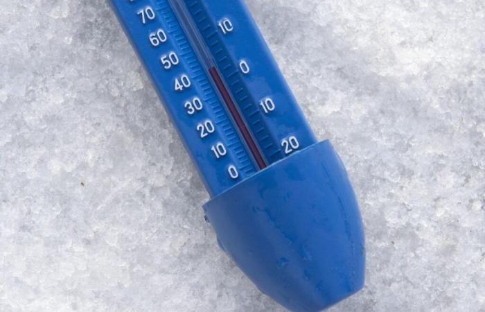
Perhaps you have noticed, but temperatures have fallen at the start of 2025. Since Thursday, January 2, an air mass has crossed France, gradually causing the thermometer to drop. Negative temperatures are expected at the end of the week, before a mild spell on Sunday January 5.
From Thursday, snowflakes are expected at low altitude in the north-east of France. “The snow is starting to replace the rain on the heights of Champagne-Ardenne in Lorraine,” Météo France indicated in its bulletin, Thursday January 2.
In the afternoon and evening, the bad weather will continue to progress towards the south. This disturbance stretches from the north of Nouvelle-Aquitaine and Centre-Val de Loire to the Vosges, Burgundy Franche-Comté and Auvergne Rhône-Alpes.
This weekend's forecast
For Friday, Météo France forecasts widespread morning frostsexcept on the Atlantic coast, the South-West and the Mediterranean rim. In the northeast, temperatures will be between -4°C and 0°C, and up to -5°C and -7°C on the Jura plateaus. Maximum temperatures will not exceed 2°C to 6°C in the afternoon in the northern half and Auvergne Rhône-Alpes.
Saturday morning, the cold will continue in the east, with -3°C forecast in Metz. In the afternoon, temperatures will not exceed 4°C in the north of France, but also over a large part of the east of the country. A disturbance will gradually spread, bringing rain to a large part of the country. Temperatures are expected to rise again on Sunday January 5.
Read more
France


