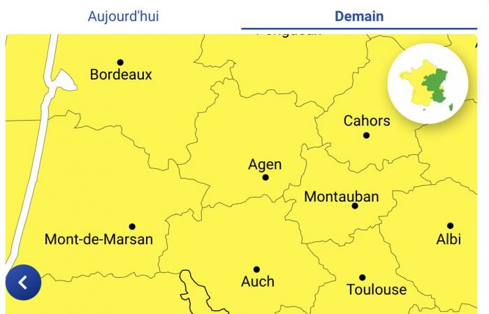
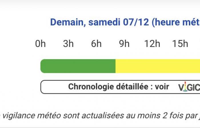
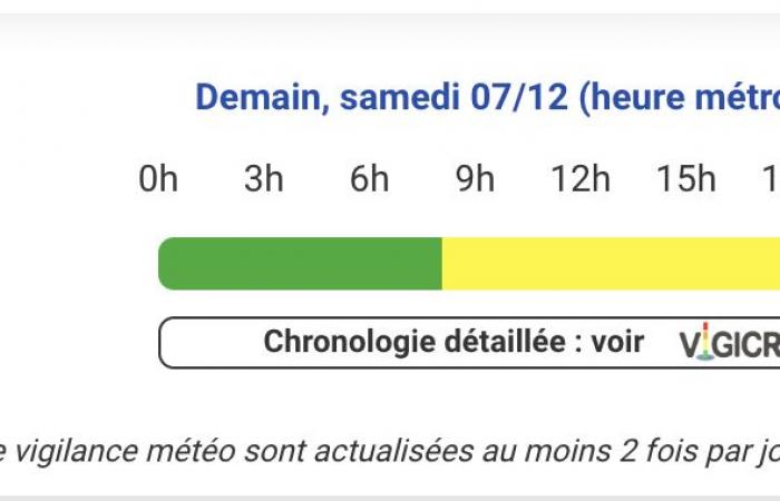
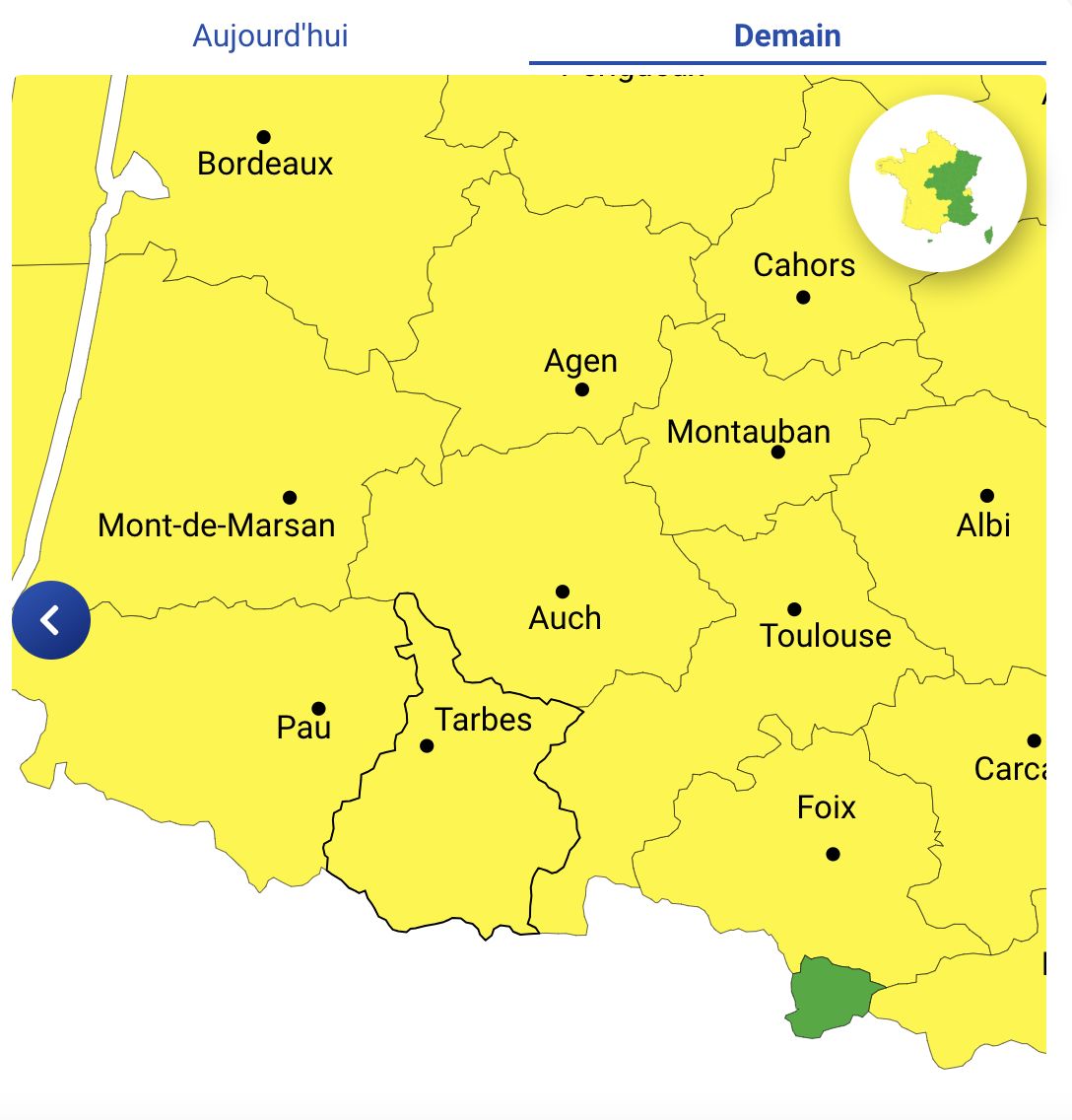
Snow, wind, storms, wind… Météo France has put several departments on yellow alert including Hautes-Pyrénées, Pyrénées-Atlantiques, Haute-Garonne, Ariège, Gers, Landes, Tarn -et-Garonne and Hérault.
This Saturday, December 7 marks the start of a particularly turbulent weekend in terms of weather in France. Several departments (Hautes-Pyrénées, Pyrénées-Atlantiques, Haute-Garonne, Ariège, Gers, Landes, Tarn-et-Garonne and Hérault) are placed on yellow alert by Météo France due to potentially dangerous climatic conditions. Here's a roundup of forecasts and recommendations for this weekend.
Departments on yellow alert: a wide range of risks
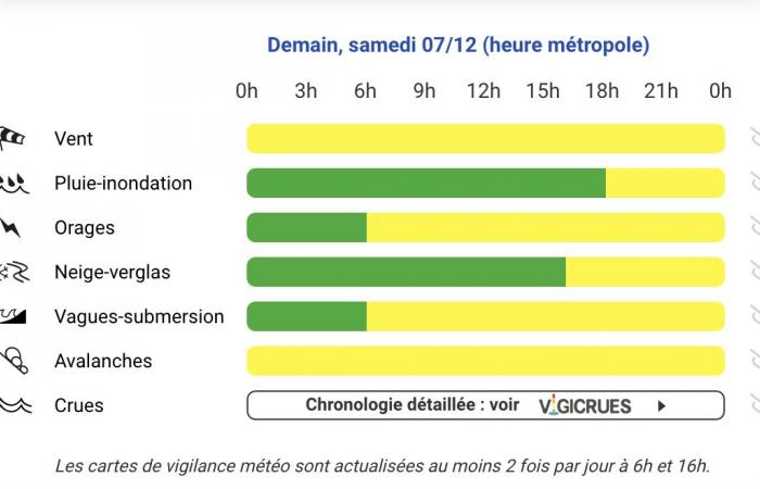
Yellow vigilance has been activated for several departments, each facing various weather phenomena:
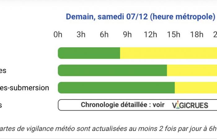
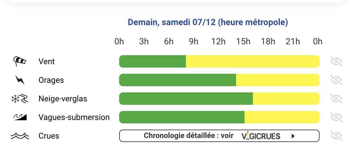
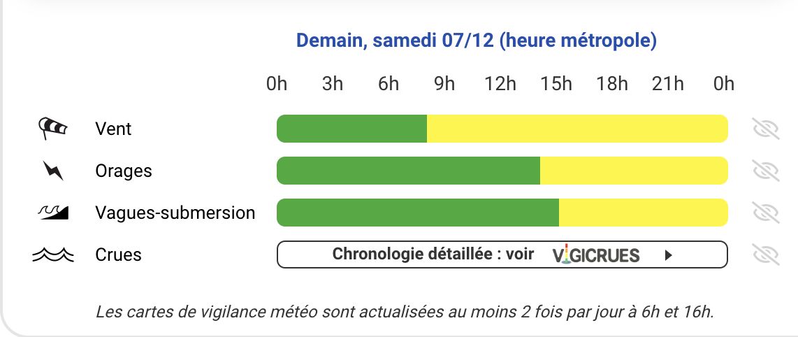
- Pyrénées-Atlantiques : violent winds, thunderstorms, snow-ice and risks of waves-submersion.
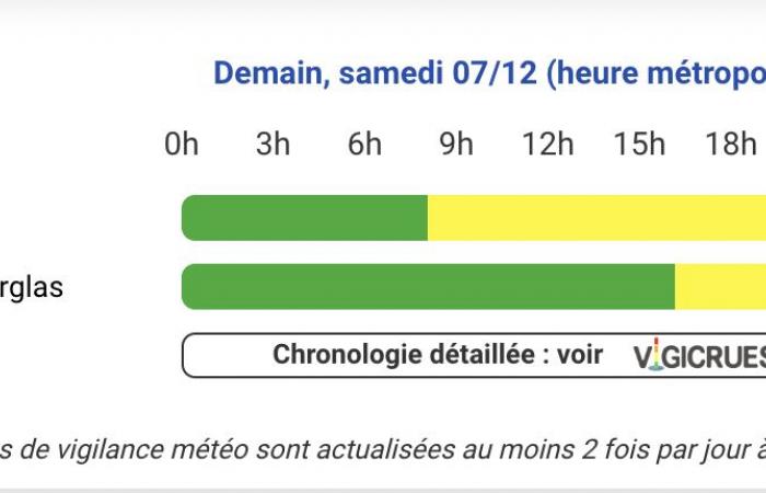
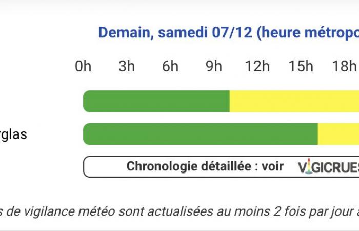
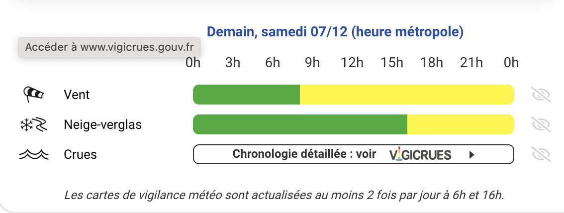
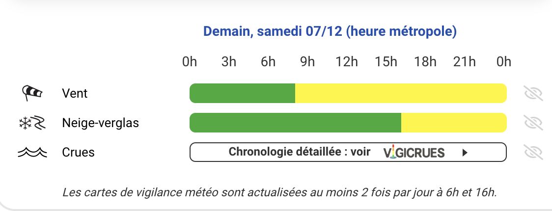
- Hautes-Pyrénées, Ariège, Haute-Garonne : vigilance for wind and snow-ice.
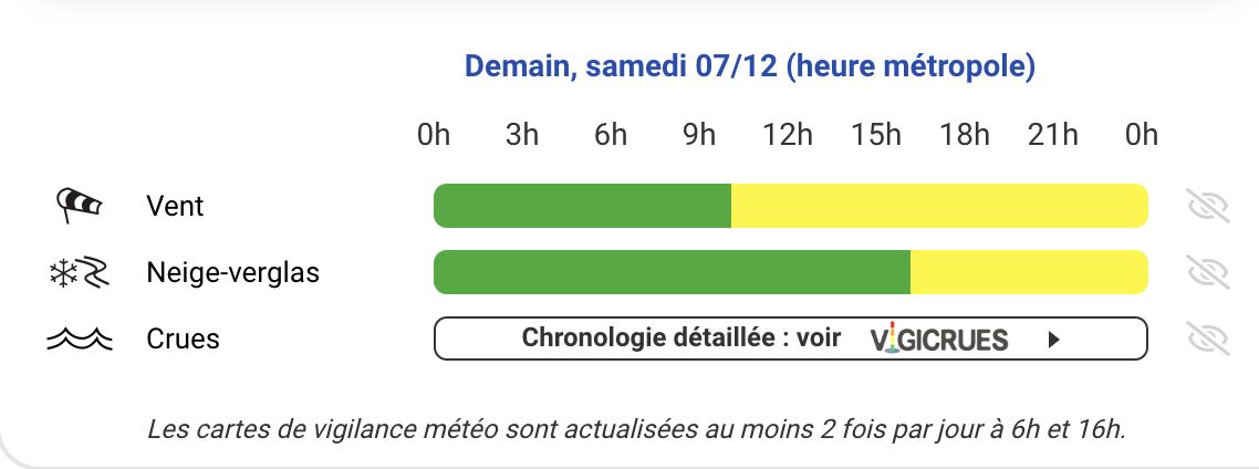
- Gers, Tarn-et-Garonne, Hérault : be careful for strong winds.
- Landes : risks linked to winds, storms and waves-submersion.
These alerts demonstrate the intensity of the expected disruptions, with different impacts depending on the region.
Saturday: between violent winds and first snowfall
Saturday will be marked by powerful winds, particularly on the Channel coasts, where the strongest gusts are expected to affect Hauts-de-France. On the Mediterranean rim, the Tramontane will strengthen significantly in the afternoon. On the relief side, the situation looks just as worrying. The Alps and the Pyrenees will experience significant snowfall from midday. This precipitation will intensify in the evening, announcing difficult conditions in the mountains. From Saturday to Monday, more than a meter of snow is expected to fall in the Pyrenees.
Sunday: heavy snow and polar cold
A northwesterly flow, associated with a polar impulse, will continue to supply sustained precipitation across the entire mountain territory. In the Pyrenees, the orographic blocking phenomenon will lead to particularly heavy snowfall, going down to the valley. Conditions will be conducive to the formation of a thick snow cover, but also snowdrifts under the effect of the wind. The Alps and the Massif Central will not be left out, with significant accumulations expected from 800 to 1000 meters above sea level.
Monday: a snowy start to the week
The blockage in the Pyrenees will continue on Monday, consolidating the already significant snow accumulations. The cold will intensify, marking the first real winter streak of the season.
Call for caution in the mountains
The High Mountain Gendarmerie Platoon (PGHM) has issued a call for vigilance in the Pyrenees:
Mountain conditions will be particularly dangerous this weekend.
The PGHM strongly advises against any outing in the mountains due to:
- Intense snowfall.
- Strong winds leading to an increased risk of avalanches.
For those who are still planning an outing, it is imperative to respect the safety rules:
- Essential equipment : shovel, probe and avalanche victim detector (DVA).
- Rigorous preparation : consult the weather and avalanche reports.
- Caution in groups : never leave alone and inform someone of your itinerary.
This weekend promises to be tumultuous, whether on the coasts swept by the winds, or in the mountains under intense snowfall. The authorities are calling for caution, particularly for outdoor activities in risk areas.
For everyone, it is better to postpone outings or adopt maximum vigilance in the face of the vagaries of the weather.
Department by department update
The Pyrenees-Atlantiques
The Landes
The Hautes-Pyrénées
Haute-Garonne

Ariège
The Gers

Tarn-et-Garonne

Hérault

France

