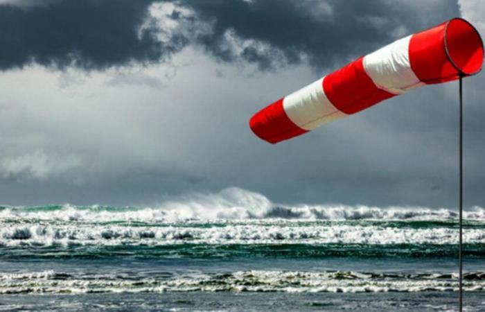
A depression is expected this Friday evening in the Channel. However, some uncertainties still remain about its trajectory and strength. Here we present the most likely scenario.
Stormy gusts near the English Channel from Friday evening
Late Friday afternoon, the southwest wind will strengthen very clearly from Brittany to Cotentin with gusts between 90 and 100 km/h on the coasts and up to 80 km/h inland. The strongest gusts will then shift in the evening towards Hauts-de-France with there also sometimes stormy winds on the coast, between 100 and 120 km/h. In the lands of Normandy and Hauts-de-France, gusts will reach 90 to 100 km/h. It is in the Vosges and the Lorraine plateaus where the strongest gusts are expected on Saturday morning, locally up to 120 km/h. The wind should then turn to the west then northwest and in the instability on Saturday gusts could still exceed 100 km/h in the Channel.
Strong gust of wind © The Weather Channel
A raging sea with waves between 3 and 5 meters in the Channel
This strong gale will also be accompanied by raging seas. It will be better to avoid coastal areas since the waves will rise up to 4 or 5 meters in the West Channel and 3 to 4 meters towards the Opal Coast and in the North Sea. However, tidal coefficients will be particularly low, which should avoid major flooding.
This strong gust of wind will mark the start of a change of weathersignificantly colder and unstable. The wind will continue to blow strongly on the coasts but also inland during the weekend but no longer at the storm threshold.
France


