Published on November 19, 2024 at 10:20 p.m.
The vortex will show its teeth. Forecast.
Change of direction
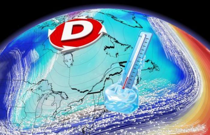
The warm meteorological autumn that ends at the end of November is expected to take a different turn. In fact, a change of regime risks marking the transition to the new season. For several weeks, the prevailing atmospheric context in Quebec has been marked by an influx of mild air. Positive anomalies were recorded in September, October and November. As the cold builds at the polar circle, a flow of the vortex is anticipated during the last days of November.
New paradigm
This change in regime should mark the arrival of temperatures below seasonal norms. This is a reversal of the situation since arctic air would cause the mercury to drop near the freezing point. This breakout would occur towards the end of the month. Southern Quebec should therefore mourn the maximums of 10°C and above which have marked the last few days.

Cold anomaly
This incursion of the polar vortex to our latitudes risks causing widespread temperature anomalies much further south. The Far North of Quebec would experience the opposite situation with a mercury above normal. Note that it is not in southern Quebec that the cold would be the most intense in terms of the deviation from the seasonal average. The center of the continent could experience up to 7°C below normal.

Sustainable winter
In Montreal, it is estimated that lasting winter conditions set in on average around December 12. When the mercury is below freezing day or night, precipitation becomes mostly solid and a white carpet permanently covers the ground. It is around the 9th of the month that the average drops below 0°C. However, the possibility of a milder atmospheric context returning to southern Quebec has not been ruled out. Therefore, sustainable maximums of 0°C would set in late this year.

With the collaboration of Nicolas Lesssard, meteorologist.
SEE ALSO: Polar vortex: it’s snowing in London
Canada


