Not XVIIIe century until the beginning of the 20thethe subsoil of the large right bank (from Bourg-sur-Gironde to Langoiran) was the deposit of limestone, known as Bordeaux stone, to build shops and monuments of the agglomeration. Consequence: multiple abandoned underground quarries with varying risks of collapse.
After the Careers Office created by the Department and then the prescription in Gironde by the State of land movement risk prevention plans (PPRMT), more than thirty municipalities concerned joined forces (Cafap 33) then federated into a joint union, Studies and prevention of career and cliff risks 33 (EPRCF33). The challenge: to enact urban planning rules allowing or prohibiting developments in areas identified as at risk.
Umbrella too open?
Latresne, which concentrates the most habitats concerned (200 houses over 50 hectares), is the subject of a specific plan initiated… in 2016. Two years later, the first roadmap (“Le Bring to knowledge”) was released. . But according to the mixed union to which Latresne belongs and whose president is the elected representative of Tresnais Victor Maldonado, these recommendations are too radical and would generalize a little quickly, a danger to be qualified depending on the plot.
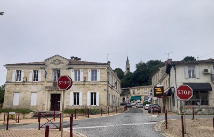
Ronan Fleho, mayor of Latresne.
Y. D.
“A few surveys with a radius of 500 meters of total ban decreed around sensitive points cannot be a scientific and precise analysis of the risk”, estimates Ronan Flého, mayor of Latresne. And to praise the in-depth study carried out by the engineers of the EPRCF33 on the area of the “Grande Quarry” of Latresne and whose final report was completed last May: “Comprehensive data on height, humidity level and resistance of each pillar, the presence of water or not. And the nuances are significant. » The elected official denies the intention, via this detailed analysis, to clear sites out of danger for urbanization.
“A few surveys with a radius of 500 meters of total ban decreed around sensitive points cannot be a scientific and precise analysis of the risk”
Everyone has their own cards
“An owner must be able to enlarge or adapt his house if the risk is not proven,” he argues. “Not to mention another risk: that insurance companies no longer want to cover certain houses. Our innovative analysis approach has been recognized by the Ministry of Ecology of which the General Directorate of Risk Prevention (DGPR) involved the Gironde union in its reflections. »
Second sign of hope for the Trenais elected officials at the helm: the progressive flexibility shown by the Gironde DDTM (1) over the last discussions since spring 2024. “Elements have obviously been taken into account, but we can still progress further. finely,” estimates Ronan Flého.
In addition to the central area of the “Grande Quarry”, the Bergerie and Aérocampus sectors are also affected by the risks of ground movements. Before the presentation of the Prefecture's land movement risk prevention plan this Thursday, November 7 (at 6 p.m., free entry), the town hall had presented “its” study to the population on October 3. Everyone lays down their cards.
(1) Departmental Directorate of Territories and the Sea (State)


