Caution is required for the days to come with the arrival of a Mediterranean episode.
Significant rainfall is expected this mid-week in the south of France. A Cévennes episode is set up from this Tuesday evening, indicates the Weather Channel on 150 to 300 mm of water could then fall and even up to 400 mm in the Cévennes.
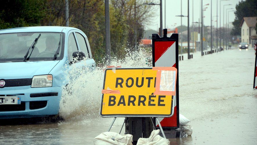
From Tuesday to Thursday, a stormy deterioration will give rise to significant amounts of rain, mainly in the south-east of France. In certain regions, this rain will fall on already saturated soils.
A Cévennes episode begins on Tuesday evening.https://t.co/OqhVKTO1B6 pic.twitter.com/o3njkZBGOG
— Météo-France (@meteofrance) https://twitter.com/meteofrance/status/1845842902838112439?ref_src=twsrc%5Etfw
“The grayness is well established throughout the day from the Var towards the Bouches du Rhône, from Languedoc-Roussillon to the borders of the Toulouse Midi”indicates the Weather Alert bulletin.
ud83cudf27ufe0fu26c8ufe0f Here is an animation of the evolution of the rainy situation in the south, with the Cévennes episode which begins this evening. The accumulations will initially be moderate before the rains increase for Thursday. pic.twitter.com/IelaCkHD5P
— La Chaîne Météo (@lachainemeteo) https://twitter.com/lachainemeteo/status/1846088172461011367?ref_src=twsrc%5Etfw
The weather forecast for this Tuesday is already marked by a strong southeast wind which brings up a moist Mediterranean air and particularly mild temperatures. This Autan wind will blow from 70 to 90 km/h in the morning, up to 100 km/h in the afternoon on the Montagne Noire, Lauragais, and 50 to 70 km/h in the Toulouse region. The east wind is also strong on the Var coast, at 50 to 70 km/h. In the Pyrenees, it is in the southern sector, 70 to 80 km/h then 80 to 100 from midday.
The overall forecasts from different models are increasingly reacting to an increasingly important Cévennes episode with spillovers also much more marked in Languedoc. PACA could also be very concerned. The 400 mm seems possible on the… pic.twitter.com/0ZwpEuwPet
— Extreme Weather (@ExtremeMeteo) https://twitter.com/ExtremeMeteo/status/1846069461562151423?ref_src=twsrc%5Etfw
The Mediterranean episode is thus gradually taking shape with risk of thunderstorms in the evening in the Pyrénées-Orientales accompanied by rain overnight as well as Wednesday morning in Hérault. There rain-storm degradation will strengthen during the day on Wednesday, the most intense rains are expected this Thursday.
Ex-Hurricane Leslie, now a tropical depression, also brings very heavy rain between Spain and Portugal.