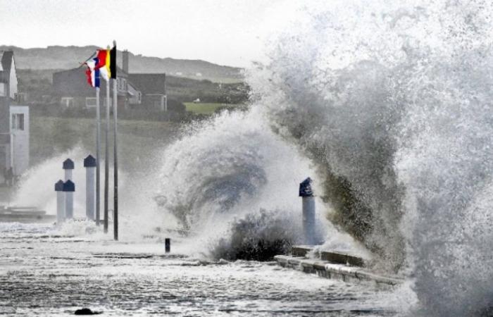
Deterioration is expected again in France from next week, while Hurricane Kirk is strengthening over the North Atlantic. It could have consequences in France even if it does not reach the coasts, Actu.fr reported.
Currently located in the middle of the Atlantic Ocean, Hurricane Kirk is particularly monitored by forecasters, explained Actu.fr. A major Category 3 hurricane, it is expected to encounter cooler waters, and be downgraded to a Category 1 or 2 hurricane.
Depending on its trajectory, Kirk will pass north of the Azores on Monday September 7, then progress towards the British Isles where it could cause a strong storm over Ireland and England on Thursday. Thus, the west coasts of France could be exposed. The remains of Kirk could be considered as Storm Bérénice over France, with possible winds up to 120 km/h and rain.
A Mediterranean episode from Monday
As La Chaîne Météo explains, the return of old hurricanes from the Atlantic is not uncommon at this time of year. Indeed, in October 2017, Hurricane Ophelia took a similar path. Last year it was Hurricane Babet.
Also, a Mediterranean episode is expected in France, from Monday October 7. Thus, the southeastern third of the country should be affected by a very rainy episode. If it should first reach the Cévennes, the episode could strengthen and move towards the north of Gard and the PACA region.
published on October 3 at 10:35 p.m., Guillaume Dosda, 6Medias
Share


