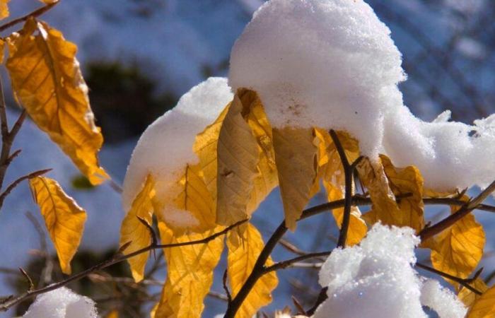
The protective stratus ceiling will disappear and the beautiful sunny moments of the Indian summer will be nothing more than a memory: from next Monday, MeteoSuisse announces the transition to unsettled weather. The snow will gradually descend below the fateful 1000 meter mark.
IMAGO/Pond5 Images
According to MétéoSwiss, we will have to take advantage of the last days of this week: the weather will deteriorate from Sunday.
If the weather gave us a long series of “copy and paste”, with layers of stratus on the Plateau and sunny weather elsewhere and above, the situation will change from next week. Sunday will be “a day of transition towards disturbed weather”, announces the Federal Office of Meteorology and Climatology.
The first precipitation is expected from Sunday evening. They will probably settle in for the whole week.
Snow first at 1000 meters, then…
MeteoSwiss forecasts very cloudy weather on Monday with precipitation in all regions. Gray weather and precipitation are also on the menu for Tuesday. The wind will also be there.
On Monday, the snow limit will be decreasing, but will be limited to around 1300 m altitude. On Tuesday, the snow limit will still be uncertain, but will be “a priori around 1000 m”, estimates MeteoSwiss.
An active cold front will probably pass through our regions on Wednesday, bringing cloudy weather, precipitation and a drop in the rain-snow limit below 1000 m. The same type of weather is forecast in any case until Thursday, with the snow limit still below 1000 meters.
From 8 to 9°C at the start of the week, the mercury should hover around 4 to 5°C on Thursday and Friday.
It’s in season!
While some look forward to the cold season and the snow, others complain as soon as the summits turn white and the mercury drops. But 2024 seems to be average in terms of the first snow in the plains, MeteoSwiss also indicates.
“On the Central Plateau, this occurs on average during the third decade of November. In the plain regions of French-speaking Switzerland and North-Western Switzerland during the first days of December,” it is specified.
Please note that this is only an average, as the arrival of the first snow varies greatly from one year to the next. Note that last year, snow arrived in the Alps on November 1, marking an abrupt transition from summer to winter, under the influence of storm Ciaran.
Switzerland weather flash
Time for hours to come – in the blink of an eye!
14.11.2024


