Back in charge of Telematin after fifteen days of leave, Flavie Flament received
Alexandra Lamy this Monday, November 4. If the host is successful with an average of 700,000 viewers present in front of their screen, the show of the day suffered from technical problems which greatly destabilized the host and her guest. Jean Dujardin's ex had all the difficulties in the world to present Louise
Violethis latest film.
It is in fact to promote a historical drama which will be released in theaters on November 6 thatAlexandra
Lamy was on the set of Telematin. In this feature film, the actress brilliantly plays a teacher sent to a country village which fights against the wishes of children and parents to impose free, compulsory and secular education.
Alexandra Lamy interrupted by a technical problem
Flavie Flament and Samuel Ollivier received Alexandra Lamy on the set of
Telematinthe two hosts had planned a nice surprise for their guest. Alexandra Lamy's former theater teacher at the Nîmes conservatory was on duplex to ask her former student a few questions. But nothing went as plannedthe professor was in fact interrupted by the advertisement.
A few seconds later, the technicians cut the commercial to give the floor to Alexandra Lamy, still in duplex with her former theater teacher. But as the professor finished her message, she was again
interrupted by an advertising spot. And this time, it was three long minutes that France 2 viewers had to wait before finding their program.
Flavie Flament apologizes on behalf of the production
This time, Flavie Flament did not give her guests time to resume the thread of their conversation, the host in fact wanted to explain why they had been interrupted.
“There you go, it’s the sequel to Télématin. Well, when we tell you we're live
when we go on air at 6:30 a.m., well it's not false, there you go, the proof is that we had a little technical problem!”.
Samuel Ollivier, provided some details on the involuntary interruption. “We pressed all the buttons at the same time!” Flavie Flament then concluded the sequence with a smile on her lips. “We pressed all the buttons at the same time, here we go! The ad is goneso we find ourselves with Alexandra Lamy, who is our guest and who we find at the cinema in the film Louise Violet, which we loved here!”
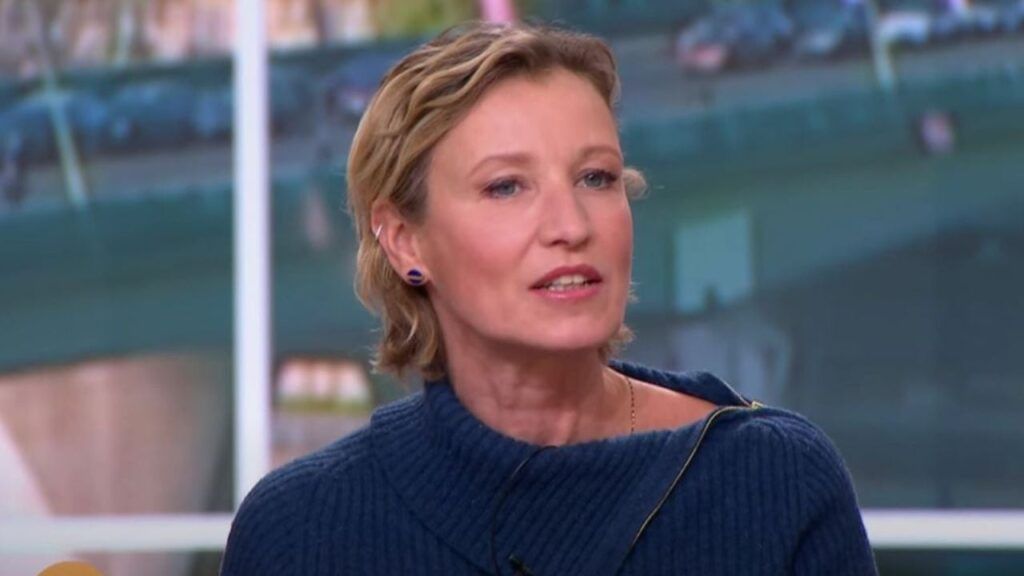
photo credit: France 2 A technical problem live in Télématin.
Flavie Flament talks about the difficulties of going live
And technical problems are not the only challenges Flavie Flament has faced since she agreed to present the morning show. Guest of Léa Salamé in the show
What erathe host spoke about the change that having to host live represents.
“We took a busit's a bit difficult”.
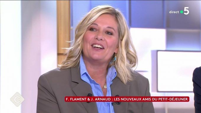
photo credit: France 5 Flavie Flament happy despite the difficulties.
Despite the problems encountered, Flavie Flament absolutely does not regret his choice. “It was immediate because it's a show that I've always found super interesting. These broadcasts which are done live, in which we can deal with current affairs, lighter information, society, technological news, all these sections which come to enhance it, it is a challenge that I really wanted to take on”.