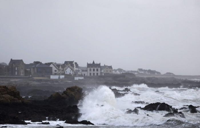
If storm Éowyn hits Ireland first and then the United Kingdom, France will be affected, to a lesser extent, by its passage. Winds of up to 90 km/h and heavy rain are expected in the northwest of France.
Expected at the end of the night from Thursday to Friday, storm Éowyn is expected to hit Ireland throughout the day of January 24, 2025. It will nevertheless circulate quickly and will then pass through England, then Scotland. In France, the northwest of the country should also experience its passage, but to a lesser extent. Indeed, while winds of up to 130 km/h, or even 150 km/h in places, are expected on the British Isles, in France, Météo France announces gusts of 80-90 km/h . The Breton, Normandy coasts and even as far as Pas-de-Calais will be affected by these winds expected between the end of the night and the beginning of the afternoon on Friday. Heavy rain is also expected.
Storm Éowyn in Brittany: what are the forecasts?
In its forecasts, La Chaîne Météo specifies that if the winds could reach 100-110 km/h on the most exposed Breton capes, overall, the event will be rather classic for this time of year, with gusts between 70 and 80 km/h inland, and should not present any dangerous nature. The Breton tip will be the first impacted, around 3 or 4 a.m., during the night from Thursday to Friday. Waves of 6 to 7 meters are expected to hit the Breton coast, but the low tidal coefficients will limit damage. There should therefore be no coastal flooding, indicates La Chaîne Météo. The winds, which will blow all Friday morning over Brittany, are expected to weaken at midday.
-Heavy rain is also forecast. Between Brittany, the Pays de la Loire and Normandy, up to 40 to 50 mm could fall locally, reports Météo France, which warns: “The accumulation of rain will need to be monitored.” The Weather Channel, for its part, does not hesitate to speak of “copious rains” in the north-western quarter of the country.
After Brittany, head to Hauts-de-France for storm Éowyn
Passing through Normandy, the winds will reach Hauts-de-France early Friday afternoon, between 12 p.m. and 3 p.m., announces La Chaîne Météo in its forecasts. A quick passage since the lull is expected around 4 p.m. Rain “relatively heavy in 24 hours, but not exceptional”, according to La Chaîne Météo, will also be on the program. Precipitation to be monitored because it presents “a new risk of overflows and new floods for the following days [puisque] other disturbances will follow”, warns the channel on this point. The soils being already saturated with water, further rises in watercourses are to be feared for this weekend, as well as the week to come.


