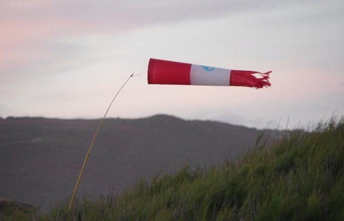
The phenomenon will affect France during the night and day of this Friday.
Storm Éowyn will arrive during the night of this Thursday and gain strength this Friday, January 24. She will first touch the northern England and Scotland. “Violent wind gusts are expected to exceed 130 km/h in a fairly widespread manner, even exceeding 150 km/h locally”indicates the Météo-France bulletin. Winds of up to 200 km/h could hit British coasts. Very strong waves will also hit the coastline.
Scotland and Ireland have been placed on “red alert”. Éowyn is already categorized as being a “weather bomb”, like storm Ciaran, which hit France hard at the end of 2023, recalls FranceInfo.
Also read:
Storm Éowyn: wind gusts of up to 100 km/h, the north of France soon hit by this “weather bomb”
Its effects will be felt until France with “less violent winds, between 80-90 km/h, on the Breton and Normandy coasts, and as far as Pas-de-Calais between late night and early afternoon on Friday. Rain will be heavy in the northwest of the country. All weather will therefore be very disrupted in the north-west of France. It will be accompanied by a clear warm spell.
This will continue during the weekend, where new disturbed passages are expected, probably accompanied by strong winds from the North-West on Sunday.
Storm #Éowyn: violent gusts on the British Isles (130 to 150 km/h) from the night of Thursday to Friday.
-On Friday, the cold front linked to Éowyn irrigates the north-western regions of France. Gusts could reach 80 to 90 km/h near the coasthttps://t.co/HJByXZFcUc pic.twitter.com/wzB6HowPeS
— Météo-France (@meteofrance) https://twitter.com/meteofrance/status/1882099015640404423?ref_src=twsrc%5Etfw
The explosive depression behind the storm #Eowyn approaching the southwest of Ireland.
The associated tropopause anomaly stands out particularly well (red/black shades). pic.twitter.com/LqQD5UXFzH— Keraunos (@KeraunosObs) https://twitter.com/KeraunosObs/status/1882474520247988675?ref_src=twsrc%5Etfw
The particularity of this storm is a powerful cyclogenesis, with the extremely rapid development of a depression, which will take place over the Atlantic. The phenomenon is well linked to the polar air which hits the United States. This arctic air will spread rapidly over the western Atlantic and exacerbate temperature contrasts, particularly in the depression formation zone.
France


