The Park City area is expected to collect between four to eight inches of snow on Friday. ABC4 Meteorologist Seth Sanders said several more inches are expected this weekend.
“We have another system rolling on through, so very busy week,” Sanders said.
He said some of the weekend’s precipitation could turn from snow to rain due to warmer temperatures.
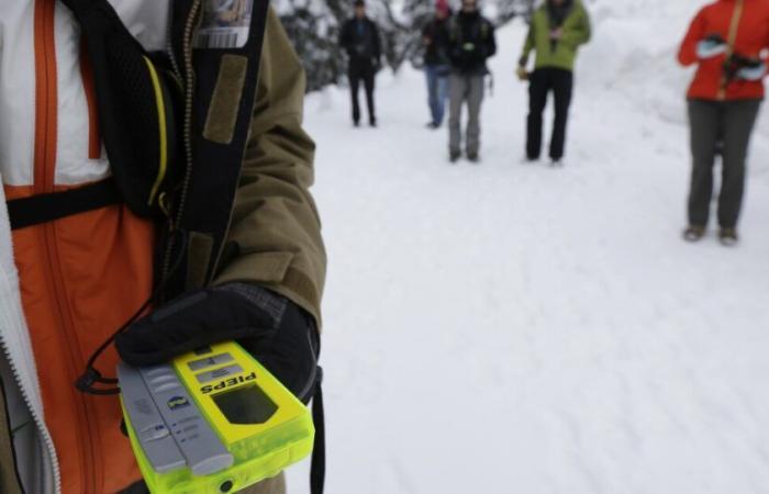
The Utah Avalanche Center is reporting high avalanche danger for the Salt Lake, Provo, Ogden and Logan area mountains.
UAC forecaster Greg Gagne said the snowpack is loose and unstable, especially on slopes greater than 30 degrees.
“We’re going with a high avalanche danger at the upper elevations, on slopes facing northwest through east,” Gagne said. “Considerable danger elsewhere. I think at the lower elevations we’ll have moderate avalanche danger. So asking people just to avoid those slopes steeper than 30 degrees on that north half of the compass.”
He warned backcountry enthusiasts to approach the snow with caution.
“If you do trigger an avalanche, it could be two to four feet deep, hundreds of feet wide,” Gagne said. “The snowpack is so unstable. It’s so tricky right now that you may not get warning signs, like it just may be too late by the time you know.”
With time, Gagne said the incoming snow will ultimately help to strengthen the snowpack, but he recommends folks take a step back in the short-term.
Additional avalanche information for Utah mountains can be found at utahavalanchecenter.org.


