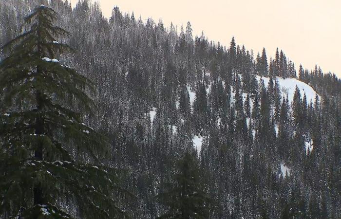
A parade of storms is continuing to pound the West Coast, bringing high waves, strong winds, heavy rain, snow and the threat of avalanches.
In the Rocky Mountains, where another 2 to 4 feet of snow is forecast though the weekend, an avalanche watch has been issued from 5 p.m. Friday until 5 p.m. Monday.
More rain is headed to the West Coast on Friday night and Sunday morning. Local rivers will continue to rise and flooding is expected in Washington and Oregon.
Western rain and snow map.
ABC News
High wind alerts have been issued for Northern California, Oregon, Wyoming and Montana, where wind gusts could reach 70 mph.
The West Coast will finally get a break from the severe weather next week.
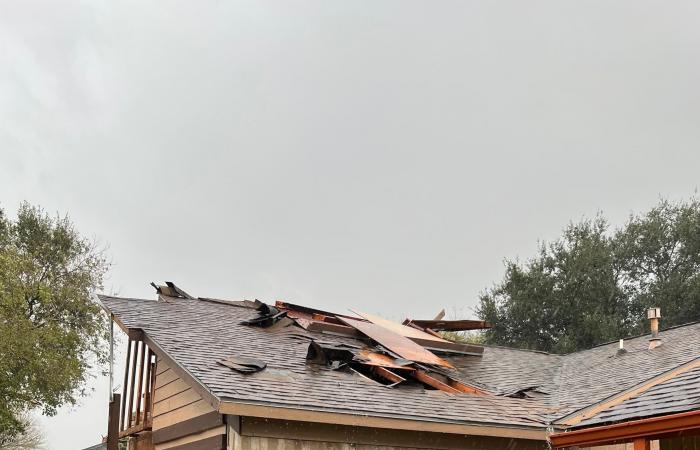
Meanwhile, in the South, a strong storm brought eight reported tornadoes to Texas and Louisiana on Thursday.
A photo uploaded to social media shows rain damage in Houston, Tex., Dec. 26, 2024.
Frank Gongora
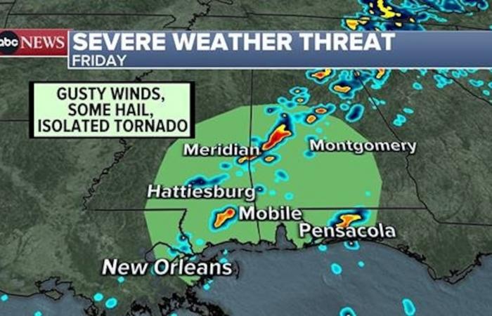
On Friday, more damaging winds, hail and an isolated tornado are possible from New Orleans to Mobile, Alabama, to Pensacola, Florida.

Severe weather threat map for Friday.
ABC News
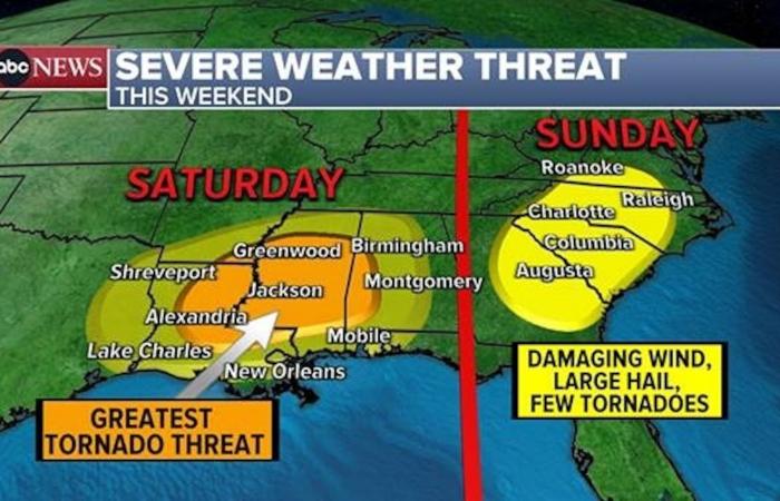
A new storm system is bringing another tornado threat this weekend.
On Saturday, an elevated tornado threat is forecast from Louisiana to Alabama. Cities in the bull’s-eye include Jackson, Mississippi; Hattiesburg, Mississippi; and Alexandria, Louisiana.
On Sunday, this storm system will move into the Southeast and could bring severe weather from Georgia to the Carolinas to southern Virginia. Damaging winds and a few tornadoes will be possible.
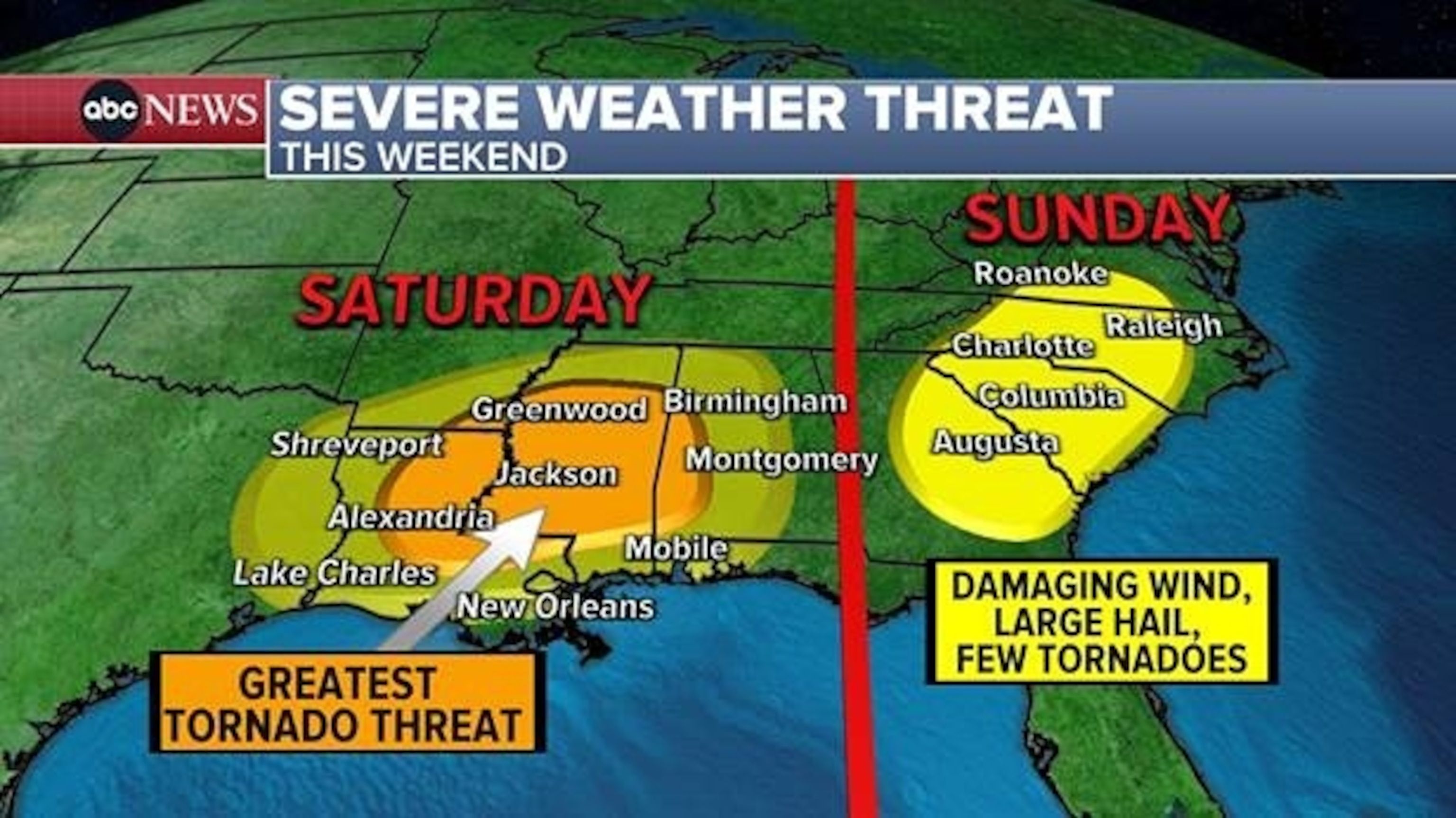
Severe weather threat map for this weekend.
ABC News

