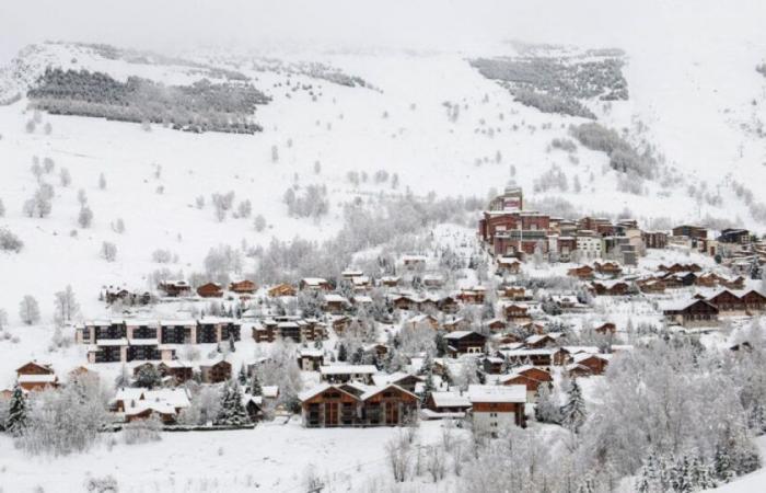
Heavy snowfall swept across France during the weekend before Christmas. The massifs are now covered in snow with, in places, accumulations which can reach one meter of snow according to Météo-France.
What would Christmas be without its white coat? During the weekend from Friday December 20 to Sunday December 22, a polar air flow crossed mainland France, causing significant snowfall, especially at altitude.
Snow has returned to Lorraine and more particularly to the Vosges. Above 1000 meters altitude, more than 20 cm of snow has already fallen while snow is also expected from 500 m. “The Vosges and the Auvergne mountains are covered in a white coat with 20 to 40 cm,” indicated Météo-France. Around 4 cm of snow was recorded on the morning of Monday, December 23 on the Lorraine plateaus.
Orange vigilance in 3 departments according to Météo France:
Following these significant snowfalls, Météo-France has placed four departments on orange snow/ice alert. These are Ain, Isère, Savoie and Haute-Savoie. The meteorological service also clarified that these departments are under the risk of avalanches.
The heaviest snow accumulations are found in the massifs of these departments with 40 to 50 cm of snow since Friday December 20. Over this entire snowy period, snowfall accumulations could reach up to 1 meter. Only the Hautes-Alpes were ignored by these significant snowfalls due to a flow oriented towards the northwest sector which stopped the snowfall in the Hautes-Alpes. This episode could be short-lived since this Tuesday, December 24, the anticyclone will return, bringing with it sunny days in the mountains.
published on December 23 at 5:05 p.m., Arnaud Enjourbault, 6Medias
Share
France


